Rain soaks San Francisco Bay Area as spring storm rolls in; thunderstorms possible
The San Francisco Bay Area saw some unseasonably heavy rain Saturday morning with thunderstorms possible into the afternoon and evening thanks to a spring storm.
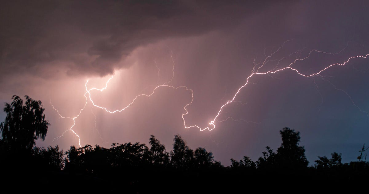
The greatest potential for thunderstorms across the Bay Area and Central Coast -- including adjacent waters -- will be Saturday afternoon. The primary hazard presented by thunderstorms is large quantities of small hail that may result in slick and hazardous driving conditions if the hail accumulates.
There could also be gusty winds in thunderstorm cells that can knock down tree limbs, power poles, and other unsecured items. Though skies may partially clear after the first round of precipitation, showers and isolated storms will likely re-develop in the afternoon.
Forecasters expect 9 to 15 mph winds, with gusts as high as 23 mph. Daytime highs are expected to be mostly in the 50s in the Bay Area. Overnight lows will be in the 40s.
Showers will likely linger through early Sunday afternoon across inland areas.
There is a chance of snow in higher elevations in the Sierra, such as Donner Pass. Closer to the Bay Area, there is a chance of snow in the Mount Hamilton area, with the highest possibility between Saturday and Sunday morning.
There is also a chance of flurries in the North Bay mountains.
Forecasters expect that after a cooldown this weekend, a warming trend is likely next week.
