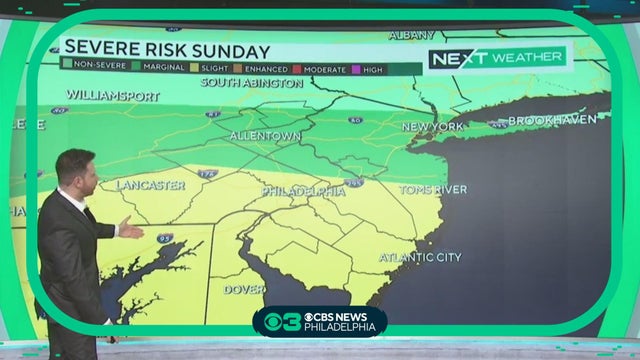
NEXT Weather: Severe risk Saturday
It's been a hot and hazy Saturday. Andrew Kozak reports the full NEXT Weather forecast
Watch CBS News
It's been a hot and hazy Saturday. Andrew Kozak reports the full NEXT Weather forecast
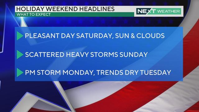
A pleasant Saturday with some storms Sunday and Monday, but the Fourth of July is trending dry and warm.
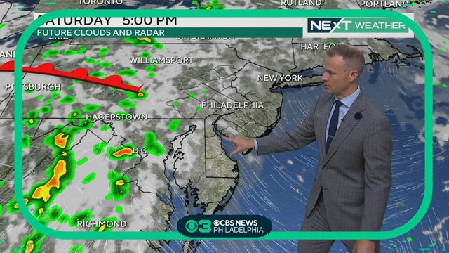
Delaware is under a Code Orange air alert, but PA and NJ's air is OK, Grant Gilmore reports.
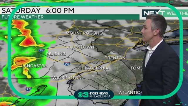
Saturday will have a chance of a stray shower or two but a much greater chance for storms will be around on Sunday. Some may be strong to severe. Bill Kelly reports.
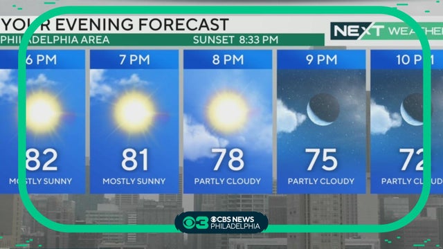
Bill Kelly reports with an all-important holiday NEXT Weather forecast.

The weekend looks to start off pretty tranquil as well, with a mix of sun and clouds on Saturday.
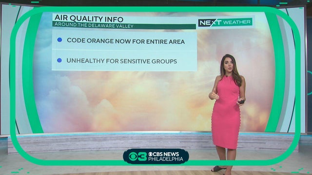
The July 4 holiday weekend looks to be less smoky than this week, Kate Bilo reports.
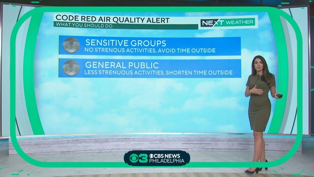
PA and DE are under Code Red air alerts and NJ is under a Code Orange.
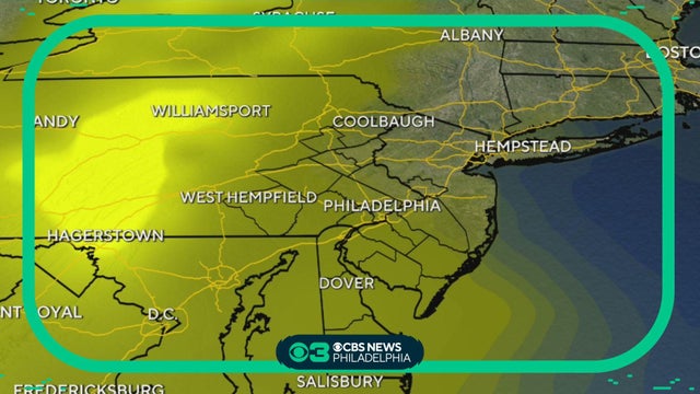
Kate Bilo reports.
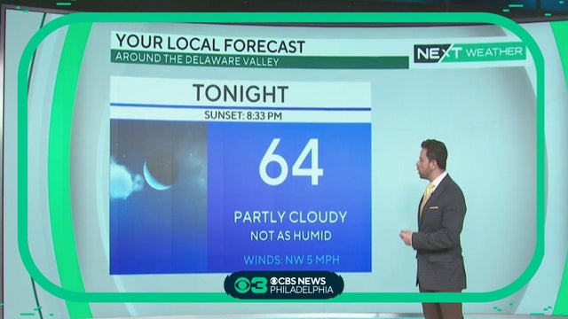
While we get a break from the storms, there is an air quality alert for Pennsylvania. Andrew Kozak has the forecast.
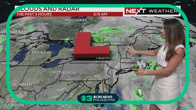
Canadian wildfire smoke shouldn't affect our region too much, but will cause hazy skies, Kate Bilo reports.
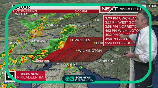
Bill Kelly reports.
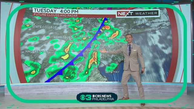
Grant Gilmore has the latest on when Tuesday afternoon storms arrive in the area.
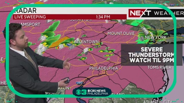
Andrew Kozak has the latest on severe weather that's expected to hit the Philadelphia area.
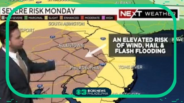
Andrew Kozak has the latest on the possible severe weather in the Philadelphia area.
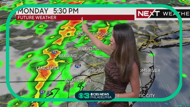
Kate Bilo has the latest on potential severe weather for the Philadelphia region on Monday afternoon and evening.
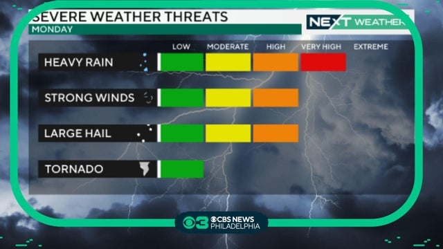
While we're already seeing showers and some marginally severe storms Sunday, our main focus after this evening will be Monday, as a powerful system moves across the region and gives us an enhanced risk of severe weather.
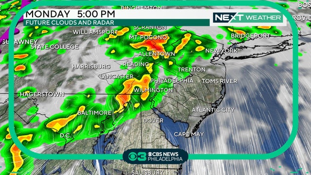
Today will be warm and sunny, but muggy conditions greeted many across the area this morning with a few spots of early morning fog. But Monday will see showers an likely an inconvenient drive home from work.

Another very muggy overnight is upon us with light to calm winds. That’s a big part of the recipe for more fog Sunday morning, much like Saturday. Andrew Kozak reports.
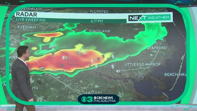
Fog will disperse but mostly cloudy skies will remain. While we could see a little sun here and there Saturday, most areas stay overcast with scattered showers and rumbles of thunder moving back. Severe weather is not likely. Andrew Kozak repports.
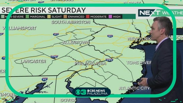
The overall stormy pattern will continue through the weekend with off-and-on showers & storms and locally heavy rain. There will be plenty of dry time and perhaps a little sunshine but the chance of showers will be with us well into next week. Bill Kelly reports.
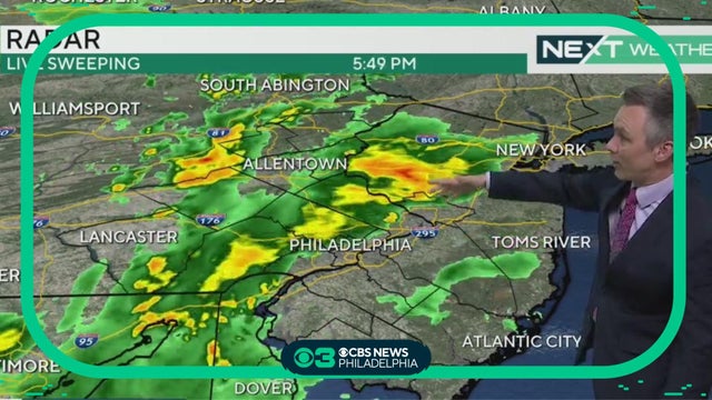
Chief Meteorologist Bill Kelly is back with another check of your Friday NEXT Weather forecast.

Grant Gilmore has your Friday forecast, including what to expect for Friday night's Phillies-Mets series opener at Citizens Bank Park.
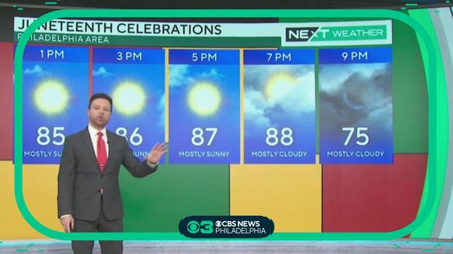
Temperatures remain warm Monday, making Juneteenth the hottest day with temperatures in the upper 80s.
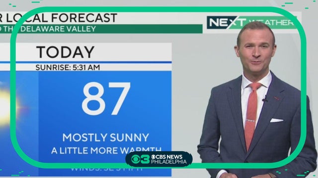
Monday remains dry, but expect slightly higher humidity levels, making it feel more like the lower 90s.