Arctic air hits Philadelphia region Monday as temperatures plummet. Here's the weather forecast.
The Philadelphia area started the week around the freezing mark, and temperatures will stay mainly flat throughout the day and into the early evening as a front sweeps through the region.
Today will be cloudy with feels-like temperatures in the 20s all day long. This airmass is the coldest so far this season.
Heavy coats, gloves, scarves, etc, will all be needed, especially by Tuesday morning, with lows starting the day off in the teens in the city and even colder north and west.
Our NEXT big weather maker
A sharp cold front moves through overnight with only a slight chance of flurries in the Poconos, but the main impact will be the sudden drop in temperature and a noticeable increase in wind.
Lows fall into the upper teens and 20s, and gusts reach 25 to 35 mph, highest across the higher elevations. Arctic high pressure builds in quickly Monday, which should keep a coastal system and any meaningful precipitation to our south. Only far southern Delaware or the lower Eastern Shore might see a brief, very light snow shower.
For the temperatures, we're in a NEXT Weather Alert Monday night through Tuesday. Monday stays cold from start to finish, with highs in the 20s north and around the lower to mid 30s elsewhere.
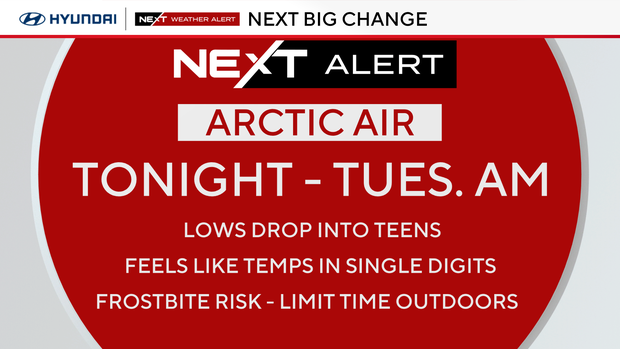
The coldest stretch arrives Monday night as skies clear and temperatures fall into the single digits and teens, though coastal areas hold closer to the 20s.
A slow rebound begins Tuesday before the next system arrives Wednesday with light rain for most and light snow possible across the higher terrain. Another quick clipper follows late week, keeping temperatures well below normal.
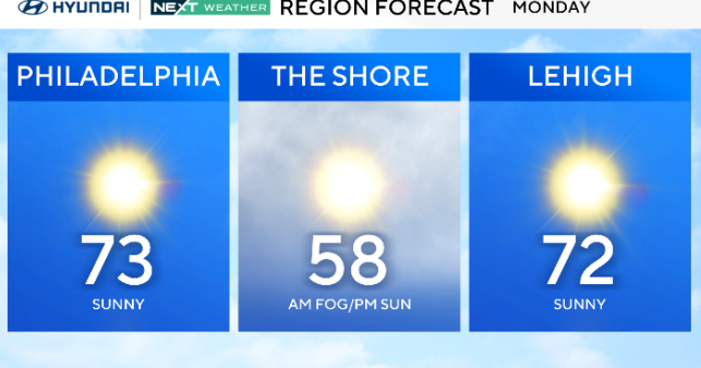
Here's your 7-day forecast:
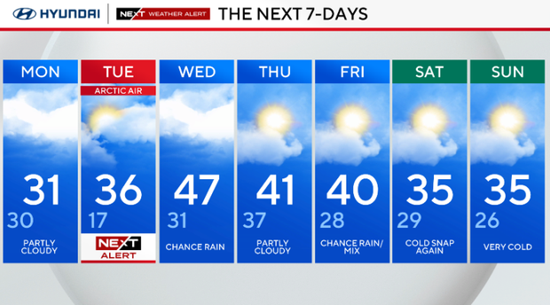
Monday: Partly cloudy. High 31. Low 30.
Tuesday: NEXT Weather Alert for Arctic air. High 36, Low 17.
Wednesday: Chance of rain. High 47, Low 31.
Thursday: Partly cloudy. High 41, Low 37.
Friday: Chance for a rainy mix. High 40, Low 28.
Saturday: Cold snap again. High 35, Low 29.
Sunday: Very cold. High 35, Low of 26.