Mostly sunny and cool Monday before rain arrives this week. Here's the weather forecast.
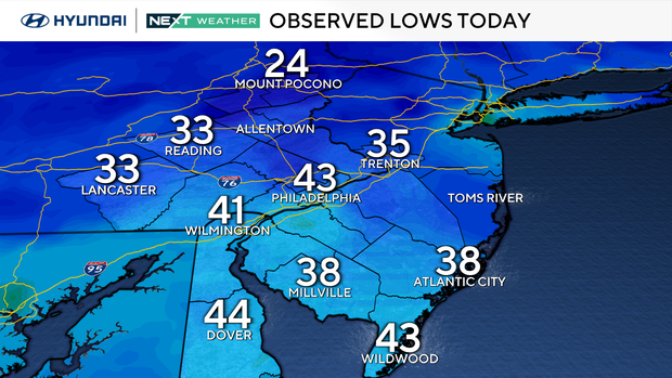
While it wasn't quite cold enough for frost in the city Monday morning, we did record our coldest low of the season at Philadelphia International Airport – 43 degrees. Brrrrr!
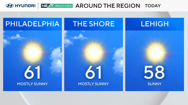
The rest of Monday stays dry and seasonable with highs in the upper 50s to low 60s and light northeast winds. Tuesday and Wednesday, a storm system will pass by to our south, bringing cloud cover to areas south of Philadelphia and even a couple of showers.
Winds will pick up near the shore, gusting up to 30 or 35 mph. The next major system arrives mid to later in the week as a strong low moves from the Tennessee Valley toward the Great Lakes, possibly spawning a secondary low near our region Thursday. This setup could bring rain, gusty winds and another round of coastal flooding before drier weather returns Friday into the weekend.
Meanwhile, Hurricane Melissa has intensified into a powerful Category 5 storm with winds of 160 mph. The storm is moving slowly west, just south of Jamaica, and is expected to make landfall there on Tuesday as a major hurricane.

Catastrophic flash flooding, landslides, and a storm surge up to 13 feet are likely along Jamaica's southern coast. Heavy rain will also spread into southern Hispaniola and eastern Cuba, where flooding and destructive surf are expected through midweek.
Here's your 7-day forecast:
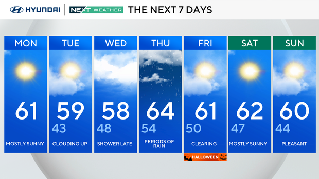
Monday: Mostly sunny. High 60, Low 43.
Tuesday: Clouding up. High 59, Low 43.
Wednesday: Showers late. High 58, Low of 48.
Thursday: Periods of rain. High 64, Low 54.
Friday/Halloween!: Clearing. High 61, Low 50.
Saturday: Mostly sunny. High 62, Low 47.
Sunday: Pleasant. High 60, Low 44.