Back To Reality
By Justin Drabick
The past two weeks consisted of several days with temperatures 15 to around 30 degrees above average. It was a bit unusual for the month of March since we average in the low to mid 50s.
This weekend, a slow moving area of low pressure tracked through the northern mid-Atlantic bringing clouds and occasional showers to the region. The storm is now exiting off the east coast and will result in a bit of a pattern change.
The past two weeks, high pressure dominated the eastern U.S. allowing for the jet stream to surge northward into Canada and warm temperatures to spread northward. This week, the jet stream will drop southward over the northeast and mid-Atlantic bring cooler temperatures near or even below average at times. These troughs or dips in the jet stream will occur every few days over the next week or two surging in some cooler air at times.
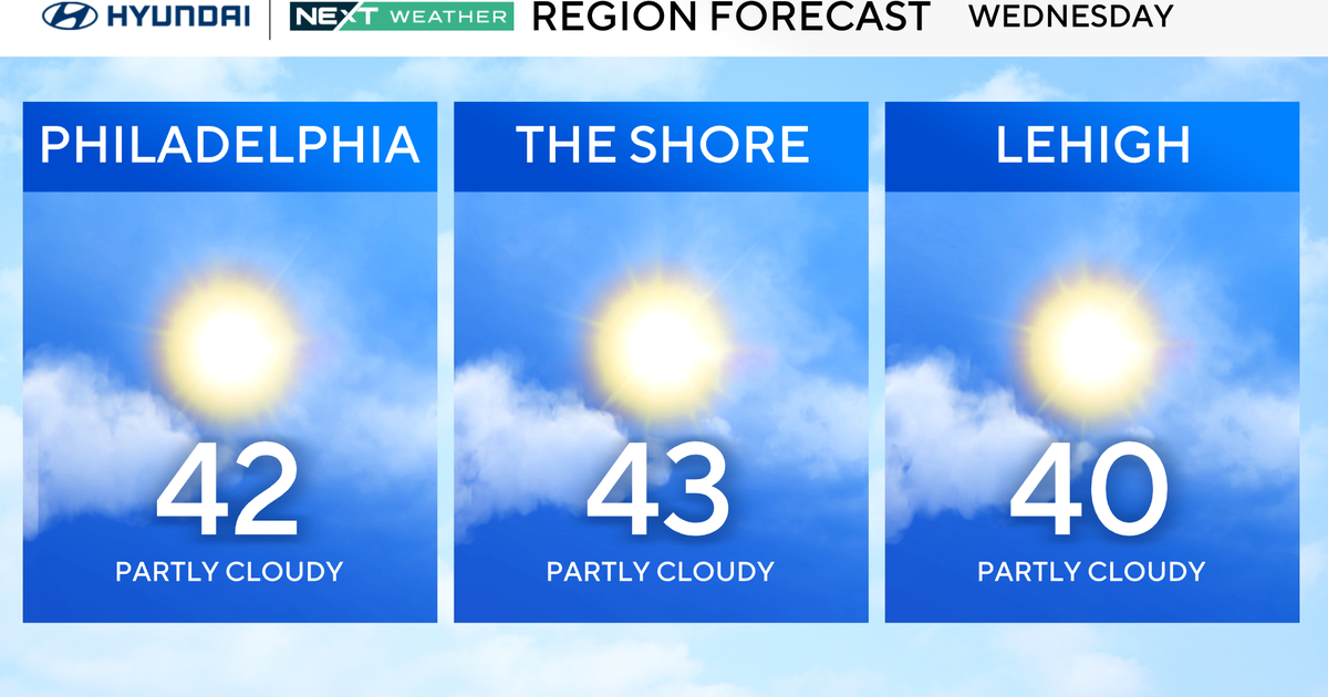
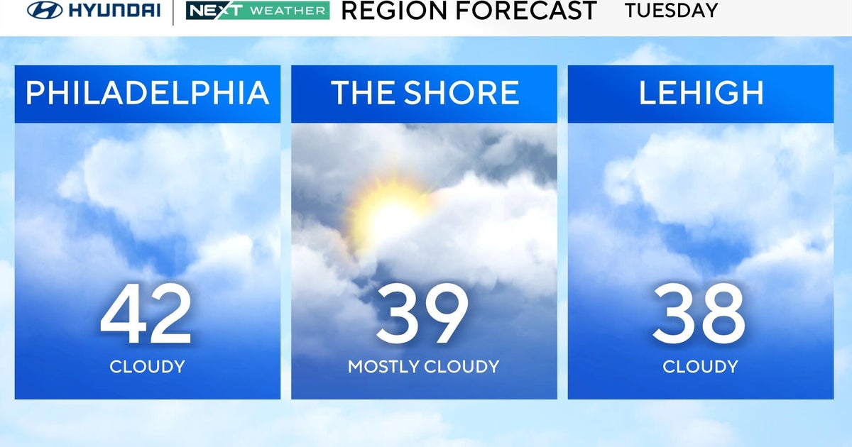
The first initial shot of cooler air will arrive Monday night and be the coldest this week. Highs in Monday will be near average but drop into the low 30s and even some 20s in the suburbs on Monday night. A freeze watch is in effect for Monday night since the growing season has started early. Highs on Tuesday will struggle to reach the low 50s but then rebound back into the 60s on Wednesday.


