Next Weather: Severe thunderstorm watch issued for west-central Minnesota
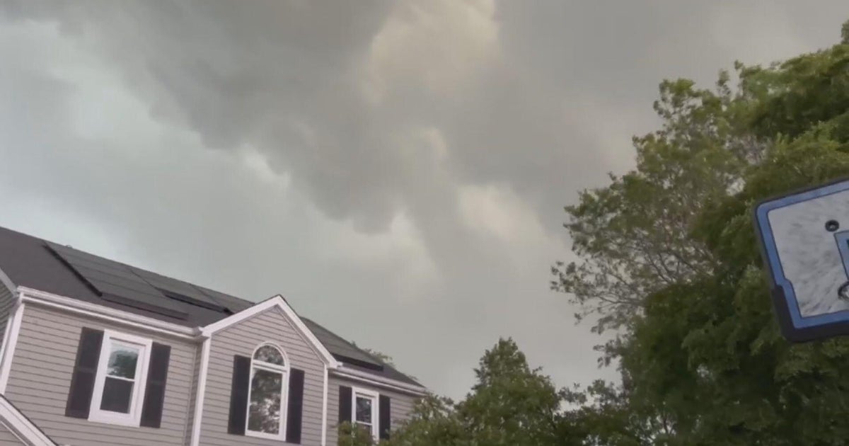
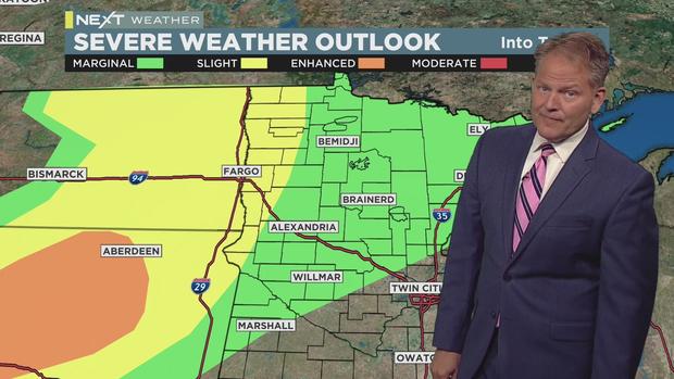
MINNEAPOLIS -- Severe storms rumbling over the Dakotas are expected to move into western Minnesota late Wednesday night through early Thursday morning.
The National Weather Service has issued a severe thunderstorm watch for several counties in west-central Minnesota. The watch is set to last through 1 a.m. Thursday.
WCCO-TV meteorologist Chris Shaffer says the watch area could expand, although the storms are expected to weaken as they move through Minnesota.
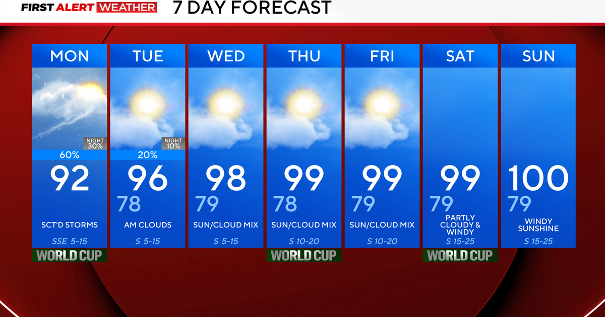
After sunrise Thursday, storms could flare up in the Twin Cities metro, but they are not expected to be strong. As the metro is experiencing the fourth-driest June on record, any rain will be much-needed.
When the skies clear Thursday afternoon, temperatures will again climb to 90 degrees in the Twin Cities. Factoring in humidity, it'll feel even warmer than Wednesday, when temperatures also rose into the 90s.
A cooldown is in store for the holiday weekend, as temperatures will be in the 80s from Friday to Monday. The next storm chance looks to come early Independence Day morning.