A wonderful weekend for South Florida in store with minimal showers

The NEXT Weather Team is tracking a beautiful weekend across South Florida.
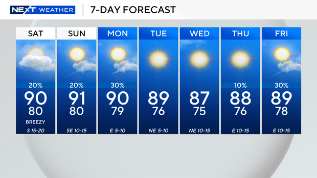
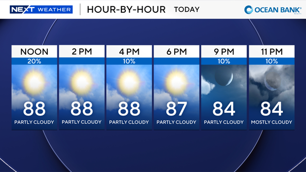
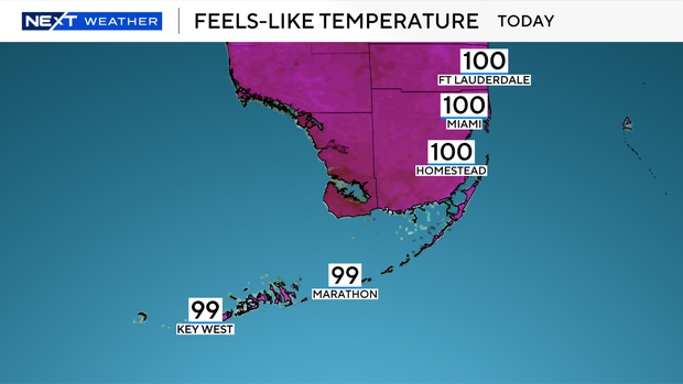
We'll see just a few pop-up showers Saturday afternoon, mostly in our Glades border communities. The rest of the metroplex will see plenty of sun, with temperatures in the upper 80s and low 90s. The high humidity combined with the heat will produce triple-digit feels-like temperatures from Broward County to the lower Keys.
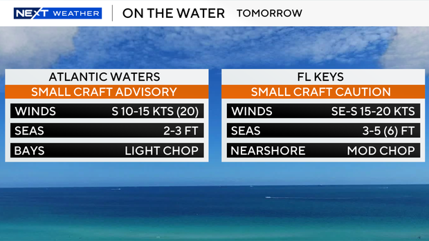
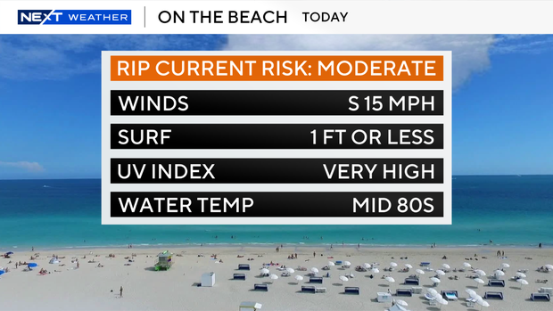
Winds and waves have generated small craft cautions in both the Atlantic and the Keys waters. We're also going to see a moderate rip current risk on all our beaches, so be careful swimming.
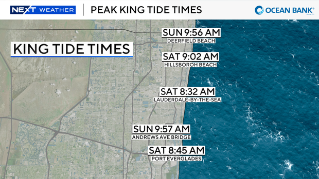
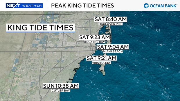
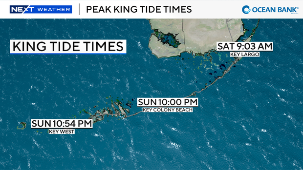
Saturday and Sunday morning, we will see the highest of the king tides for this cycle. Most of the highs will occur between 8 and 10 a.m. on either day. You should expect to see some roadway and coastal flooding.
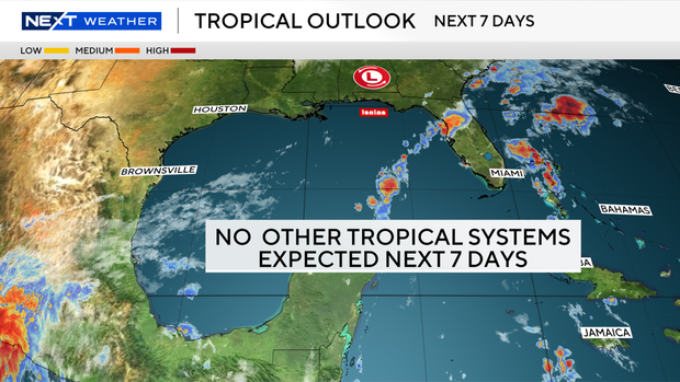
The remnants of Hurricane Isaias are dropping heavy rains across the Southeast, including parts of central and northern Florida. As the low-pressure system moves to the north and northeast, dry air will flow south to Florida behind it. This will lead to a dry and sunny week ahead.