South Florida braces for wet Wednesday with rounds of showers, storms likely

South Florida is bracing for a wet Wednesday due to an upper-level area of low pressure and plenty of moisture that will lead to scattered storms this afternoon and evening.
Some of those storms could be on the strong side and produce heavy downpours, localized flooding, lightning and gusty winds.
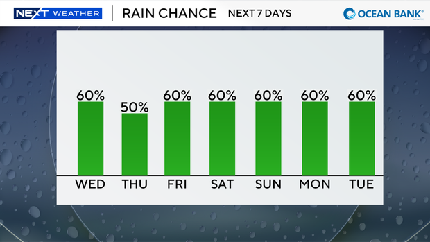
The Weather Prediction Center placed South Florida under a Level 1 risk, a marginal risk, of excessive heavy rainfall on Wednesday.
High temperatures are expected to reach into the low 90s, and it will feel like the upper 90s and 100s due to the humidity.
There is a low risk of rip currents along our Atlantic beaches, and there are no alerts or advisories for boaters along the Atlantic waters or Keys waters.
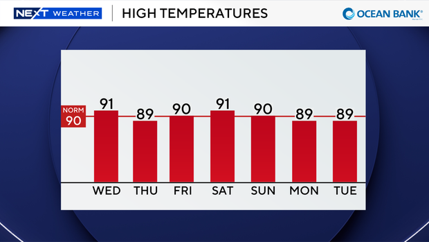
We remain unsettled with scattered storms late week and through the weekend. Highs will remain near or slightly below average in the upper 80s and low 90s.
The CBS News Miami NEXT Weather team is tracking Tropical Depression Edouard.
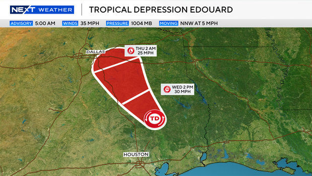
Edouard is bringing heavy rain and gusty winds to parts of southeast Texas. Flood watches remain in effect along the southeast Texas coastline due to the potential for flooding.
The National Hurricane Center says Edouard will continue moving northwestward and will likely dissipate by later tonight.
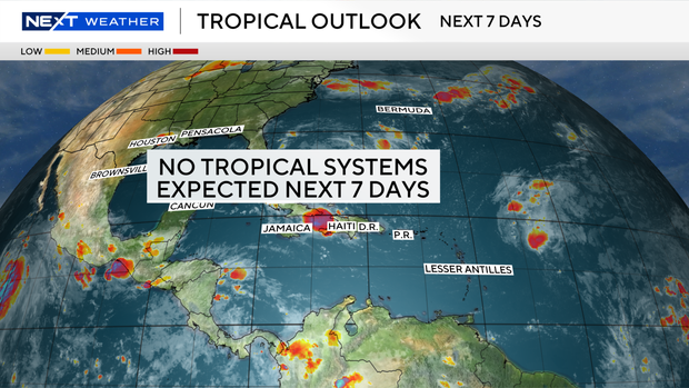
Outside of Edouard, there are no other areas of potential development being monitored by the National Hurricane Center over the next seven days.