Thunderstorms set to develop across steamy South Florida starting Friday afternoon

Keep the umbrellas handy, South Florida – a wet weekend is ahead!
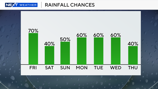
Although it was a mostly dry start to the day on Friday, more rounds of rain and thunderstorms are expected to roll into the region later today.
It was slightly cooler and more comfortable on Friday morning with temperatures in the mid-to upper 70s in Broward and Miami-Dade counties.
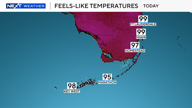
But this afternoon, it will be hot and steamy with high temperatures climbing into the 90s. It will feel like the mid- to upper 90s when you factor in the humidity.
Scattered showers and thunderstorms will develop this afternoon and evening with the potential for some heavy downpours and localized flooding due to plenty of moisture around.
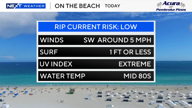
The wind has lightened up and there is a low risk of rip currents along our Atlantic beaches. The UV index is extreme.
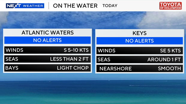
There are no alerts or advisories for boaters along the Atlantic waters or Keys waters.
This Saturday and Sunday will not be a washout, but scattered storms will be possible with high temperatures in the low 90s. Heat indices will climb near the triple-digits.
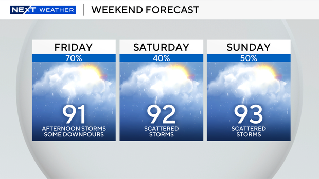
We will stay unsettled with high rain chances through early to middle of next week. High temperatures will also soar to the low 90s every day.
The 2026 Atlantic hurricane season begins on Monday, June 1. Don't miss out hurricane special airing on Monday night at 7 p.m. as the CBS News Miami NEXT Weather team will provide important information on how to prepare for the season.