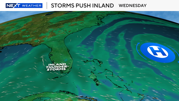
Expect more triple-digit feels-like temps across South Florida for Saturday

The month of August is off to a hot start, with temperatures pushing back above 90 degrees.
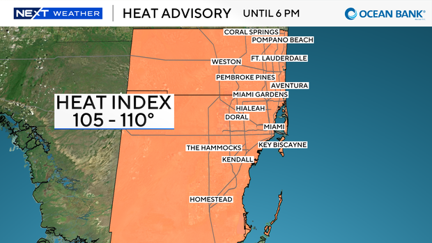
Heat index values will peak early afternoon before storms develop. A heat advisory is in effect from 11 a.m. to 6 p.m. for Miami-Dade and Broward counties, with heat index values reaching 105 to 110 degrees.
The west wind continues to keep storms in the forecast this afternoon and evening. Storms will fire inland first, then push east through the metro area during the afternoon and evening as the sea breeze gets pinned near the coast.
Gusty winds and heavy rain can be expected with these storms. Minor flooding is possible around the heaviest downpours.
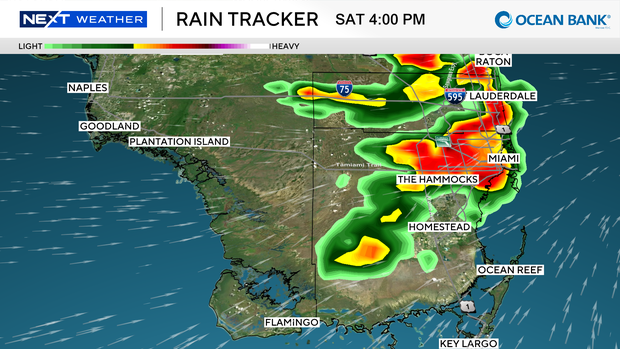
The storms will start with intense downpours but then taper off. They typically will not redevelop, so once you get a heavy downpour, that will likely be it for the rest of the afternoon and evening.
This pattern sticks around into Sunday, with highs in the low 90s and heat index values once again reaching 105 to 110 degrees. The east breeze returns Monday, which will help push storms through the metro and into the interior, but in the afternoon. It will also be slightly cooler with the air coming off the water.