Flooding impacts expected in South Florida on Sunday due to king tides

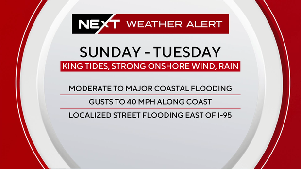
A NEXT Weather Alert is in effect Sunday through Tuesday for ongoing high-tide flooding, which will be exacerbated by heavy rain and a strong northeast wind.
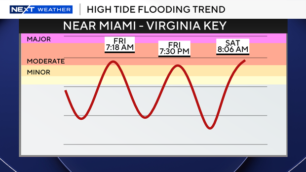
Moderate flooding has been occurring with each high tide. The most recent high tide occurred Saturday morning between 8 a.m. and 9 a.m. The next high tide will be between 8 and 9 p.m.
Aside from high-tide flooding, the weather will remain relatively quiet, with a light breeze and comfortable temperatures. An isolated shower can't be ruled out in the afternoon, but much of the area remains dry.
This all changes Sunday when the NEXT Weather Alert goes into effect. Periods of rain will develop along with a strong onshore wind. In addition to high-tide flooding, there is potential for additional flooding from these downpours. If rain occurs around high tide, it will exacerbate coastal flooding and cause longer drainage times due to higher-than-normal water levels.
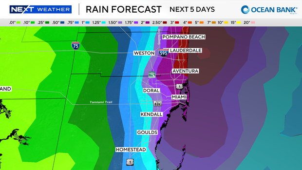
An onshore wind will continue to push water up against the coast, leading to higher-than-predicted tides. As of now, the highest predicted tide is expected to occur on Tuesday morning, a day after the full moon. Even without heavy downpours, flooding will still occur around these upcoming high tides through early next week.
The breeze will diminish next week with lower rain chances back in the forecast by later next week.
Stay alert for flood advisories or warnings. Flooding will occur around high tides over the next few days in addition to flooding from downpours, which will develop on Sunday and remain in the forecast through next week.