Expect showers and potential storms in South Florida for Sunday

Showers and storms return this afternoon for South Florida after temperatures push into the 90s again, with feels-like temperatures above 100 degrees. The storms arrive a little later today and will bring relief from the heat, though there is a risk of minor flooding.
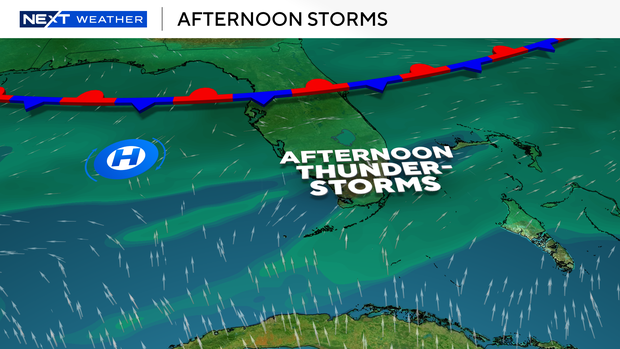
These afternoon storms are due to the low- and mid-level winds turning more westerly, focusing the heaviest storms over inland areas and toward the east coast metro, with a plume of deep moisture — precipitable water values of 2.1 to 2.3 inches — stretched across the state. That means afternoon and early-evening storms with high rain rates and slow movement, keeping the flood threat in play each day into the work week.
Highs today and Monday will reach the low 90s, with heat index values of 105 to 110 degrees. Anyone with outdoor plans should stay hydrated and take breaks from the heat. The Florida Keys will see an even wetter stretch, with rain chances peaking tonight into Monday and heat index values as high as 105 to 110 degrees, locally up to 110 in the Upper Keys.
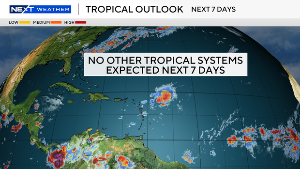
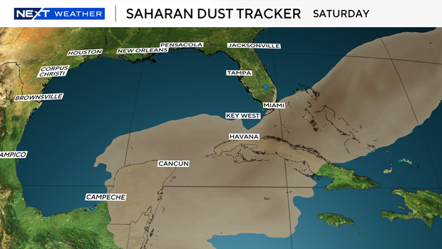
The tropics remain quiet, with no development expected over the next seven days. Saharan dust continues streaming off Africa across the tropical Atlantic, and a fresh plume is on track to push across the Caribbean and possibly into South Florida by the end of the week.
Severe thunderstorm warning were issued for parts of Broward County today
The National Weather Service issued a thunderstorm warning for portions of Broward County until 6:15 p.m. Sunday after radar detected a nearly stationary storm near Mile Marker 30 on Alligator Alley, about 16 miles west of Sunrise.
Forecasters had said the storm could produce 60 mph wind gusts and quarter-size hail. The warning covered portions of western Broward County, including areas along Alligator Alley, the Miccosukee Service Plaza and the West Broward Recreation Area.
The weather service also warned the storm could produce a possible tornado. Officials said rainfall associated with the storm could lead to flash flooding and advised drivers not to travel through flooded roadways if flooding occurs.