Southern California storm brings isolated thunderstorms late Wednesday
Rainfall arrived late Tuesday night in Ventura County and arrived in Los Angeles early Wednesday morning. Wednesday overnight into early Thursday morning there were scattered thunderstorms across the Southland.
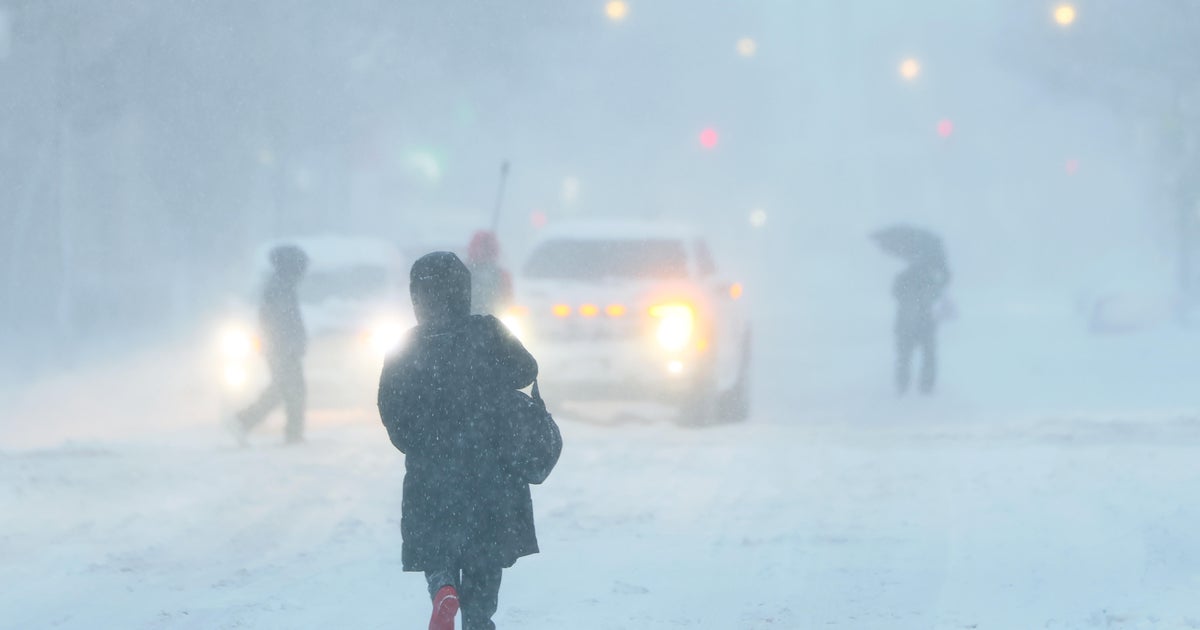
Light to moderate rain fell across the Southland Wednesday morning, with a second wave of rain arriving later in the afternoon. Heavier overnight rain into early Thursday morning brought isolated thunderstorms and snow in mountain passes.
Wrightwood Drive was closed as a precaution at Laurie Place in Studio City due to a mudslide on the hill Thursday morning. No houses appeared to be threatened.
California State Route 33 was closed from Matilija Hot Springs Road to Lockwood Valley Road in the Los Padres National Forest due to extensive storm damage. Crews were at the location removing boulders and clearing the roadway Thursday.
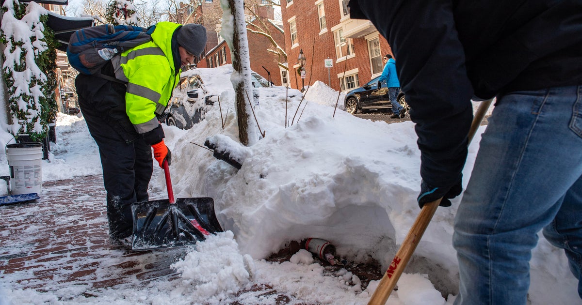
With the region already working to recover from a series of powerful storms to have already hit since late-2022, the saturated soil has many concerned with a number of landslides and sinkholes occurring in recent weeks.
Related: Biden sends federal assistance to Orange County after landslides, storm damage
The latest storm is classified as a bombogenesis or an explosive cyclogenesis.
It is now the 13th time that a storm has tapped into the atmospheric river and the third noted "bomb cyclone" of the season.
The storm intensified as it moved over the Pacific Ocean toward Northern California, but is expected to weaken by the time it hits the Southland.
However, it could become more unstable as it sweeps through — heading east — with a possibility of thunderstorms thanks to the cold air already lingering over the region. Any thunderstorm will be capable of bringing lightning, heavy downpours, hail and strong winds, with a slight chance of developing into a more severe supercell.
Similar to the last storm to hit SoCal, waterspouts and tornadoes are a distinct possibility because of the wind crossover in high elevations, which could lead to a rotating storm effect.
Related: 11 buildings red-tagged after tornado rips through Montebello
Already the NWS has issued a winter storm warning for portions of the San Gabriel Mountains beginning at 4 a.m. Wednesday and lasting until 2 p.m. Thursday. Between 6 and 12 inches are expected in communities located above 5,000-foot elevation, and winds speeds could reach 45 miles per hour.
A winter weather advisory has also been posted for the Interstate 5 Freeway corridor in northern L.A. County, with traffic on the Grapevine expected to suffer from up to an inch of snowfall.
Dry but cool conditions will return Friday after the storm moves out late Thursday evening.
Tuesday afternoon, California Governor Gavin Newsom requested a Presidential Major Disaster Declaration "to bolster the emergency response and recovery in the counties of Calaveras, Kern, Los Angeles, Mariposa, Monterey, San Benito, Santa Cruz, Tulare, and Tuolumne."
Earlier in March, President Joe Biden approved an emergency declaration requested by Newsom after the governor declared a state of emergency for 13 counties.