Flood watch issued with yet another storm heading in over weekend
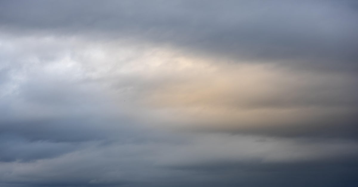
Yet another storm is set to douse the already- saturated Southland with rain by early next week, and while the system won't pack the same punch as the area's recent record-setting downpours, flood fears are being heightened due to the region's soaked terrain.
The National Weather Service has issued a flood watch that will be in effect for most of the Los Angeles area from Sunday afternoon through Wednesday morning, warning that "excessive runoff" is still possible that could overwhelm rivers, streams and other flood-prone locations.
"Area creeks and streams are running high and could flood with more heavy rain," forecasters noted.
Los Angeles Mayor Karen Bass announced Saturday preparedness measures the City has taken and urged residents to take steps now to prepare, stay informed and utilize city resources to stay safe.
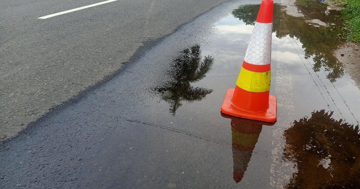
Over the past week, officials have worked to repair more than 4,000 potholes, reinforce hills that are at risk of mudslides and prevent power outages by making repairs to underground equipment and vaults that had flooded during the previous storm.
City crews are on standby prepared to work through the holiday weekend to ensure Los Angeles is prepared for the coming weather, the mayor's office said.
"We have been working diligently to recover from the storm that hit us earlier this month by covering potholes, protecting saturated land and more. Now, we must remain prepared for the additional rainfall coming to Los Angeles in the coming days," said Mayor Bass.
The region is expected to remain mostly dry into Saturday, with the front of the storm system pushing into the area by Saturday night. But the Los Angeles area is only expected to receive at most a tenth-of-an-inch of rain, if any.
The stronger portion of the storm is expected in the area Sunday night into Monday, bringing a "weak atmospheric river" over the basin. Rain is expected to be generally light in the L.A. area Monday morning, but increasing as the day and week wears on. Forecasters said that by Tuesday evening, "heavier showers will be likely, and thunderstorms cannot be ruled out."
"Any thunderstorm is capable of briefly producing damaging wind gusts and a weak tornado, eve if there is little to no lightning," according to the NWS. "Rainfall totals during this time will generally be 0.5 to 1 inch, with up to 2 inches possible across south-facing slopes and especially the eastern San Gabriel Mountains. Rainfall rates will approach up to 1 inch per hour during times of convection and the heaviest showers."
Rainfall predictions over the entire duration of the storm, which is expected to continue until Wednesday, but forecasters said the "most likely scenario" calls for totals of 2 to 4 inches in coastal and valley areas, and 4 to 6 inches possible in foothills and mountains, with some localized totals reaching up to 8 inches.