Wildfire smoke to gradually thin in Southeast Michigan Monday; storms to follow

The upcoming week starts with some issues in Southeast Michigan, but ends sunny and seasonal. Here's what to know.
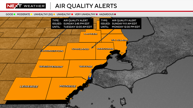
Air quality will remain a concern Monday because of persistent Canadian wildfire smoke. You may encounter localized visibility restrictions in haze and/or smoke early Monday morning. Conditions will gradually improve throughout the day, but an air quality alert has been extended through Monday as levels will remain unsafe for sensitive groups.
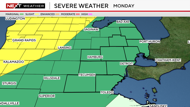
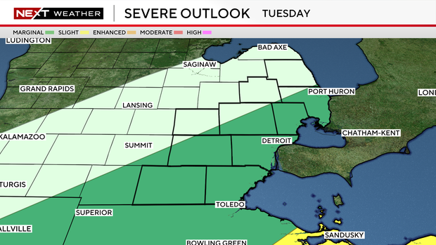
Just as the smoke clears, unsettled conditions move in Monday night as a strong low pressure system tracks across Ontario. There is a marginal risk of showers with embedded storms and isolated damaging wind gusts turning strong to severe through the overnight hours into Tuesday morning.
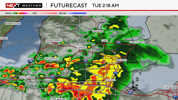
The system's cold front will move across Lower Michigan during the day Tuesday, keeping a chance of scattered showers and thunderstorms in the forecast through the afternoon.
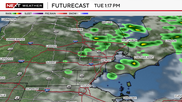
The southeast edge of the viewing area is under a marginal risk for strong to severe storms for Tuesday before the system moves out.
A solid shot of cold air, by July standards, following the cold front will drop high temperatures nearly 10 degrees on Wednesday. Expect afternoon temperatures in the mid-70s. Conditions are expected to remain dry, with a chance of showers mainly across the Thumb.
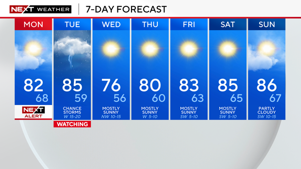
Dry conditions with sunshine and temperatures warming back up into the mid 80s are expected for the end of the week and into the weekend.
Saturday is expected to be mostly cloudy with a high temperature of 85 degrees.


