Storms and excessive rainfall possible in Southeast Michigan on Sunday and Monday

Sunday will be filled with more sunshine and, thankfully, less humidity in Southeast Michigan. However, chances for showers and thunderstorms are possible later in the day and on Monday.
There is still a lot of uncertainty with the possibility of storms Sunday and Monday. While Sunday's storms will push through prior to and along the approaching warm front, there is a chance they could miss the region altogether. If that happens, there's a chance for more storms on Monday. Conversely, if the area gets storms on Sunday, that could lessen the chance for storms on Monday.
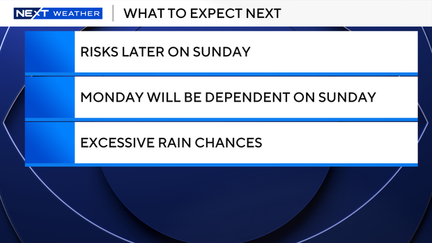
In either scenario, we have a chance of strong to severe storms. Sunday's storm chances carry a marginal risk of being severe and Monday's storm chances carry a marginal risk to our central/northern areas and a slight risk to our central/southern areas.
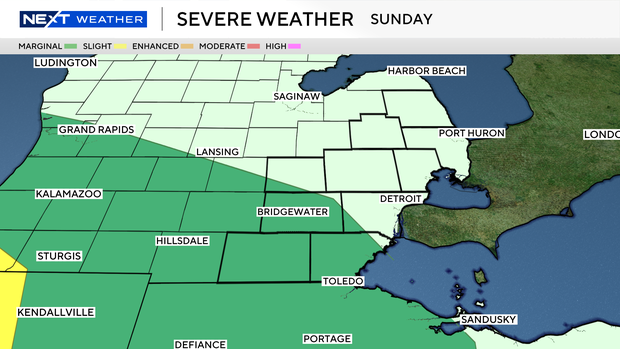
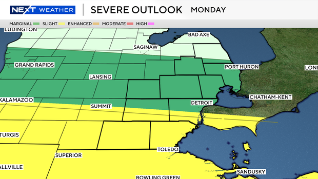
On both days, the threats will consist of strong winds and hail around 1 inch in diameter. An isolated tornado is also possible.
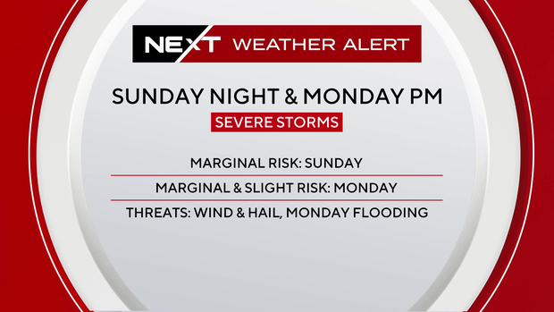
Another concern is heavy rainfall, which could lead to some localized flooding. Parts of Southeast Michigan will be under either a marginal or slight risk for excessive rainfall on Sunday and Monday. Between the two days, Monday carries a higher risk.
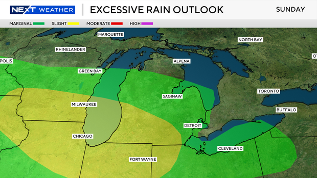
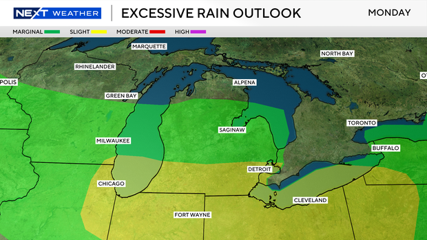
Sunday's storms are expected to move in around dinnertime or just after and could last overnight. We can expect the possibility of Monday's storms to move in during the afternoon and evening.
The CBS News Detroit NEXT Weather team will continue to monitor these storms as they approach. For the latest weather forecasts, watch on air, online or streaming.


