NOAA research ship working on new maps of Western Lake Erie

Scientists and mariners are working on updated maps of the Great Lakes, with survey work done this year on the NOAA Ship Thomas Jefferson.
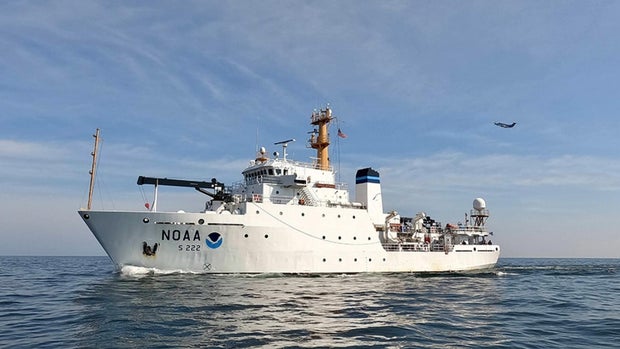
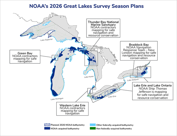
The National Oceanic and Atmospheric Administration said the Thomas Jefferson is making its first routes on the Great Lakes this summer since 2022, with the task of mapping the waters of western and central Lake Erie, along with eastern Lake Ontario.
The goal of this work is to improve navigation safety.
"Western Lake Erie, one of the shallowest areas within the Great Lakes marine transportation system, is highly trafficked by commercial and recreational vessels and has not been surveyed since the 1940s," NOAA said.
Melting ice, currents, debris, and shipwrecks all contribute to constantly changing conditions underwater, NOAA said. Accurate seafloor mapping is critical for nautical charts, storm surge models, and fisheries planning.
The work on the Thomas Jefferson will be complemented by efforts from an uncrewed surface vehicle near Oswego, New York. The DriX is equipped with high-resolution, multi-beam sonar, and a NOAA pilot oversees that work.


