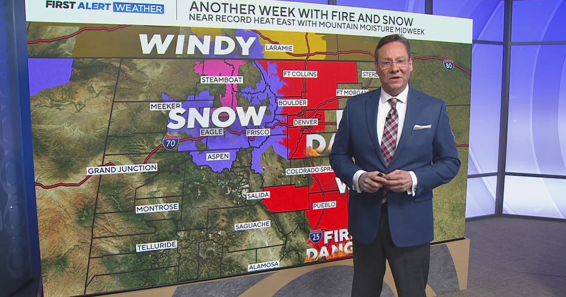
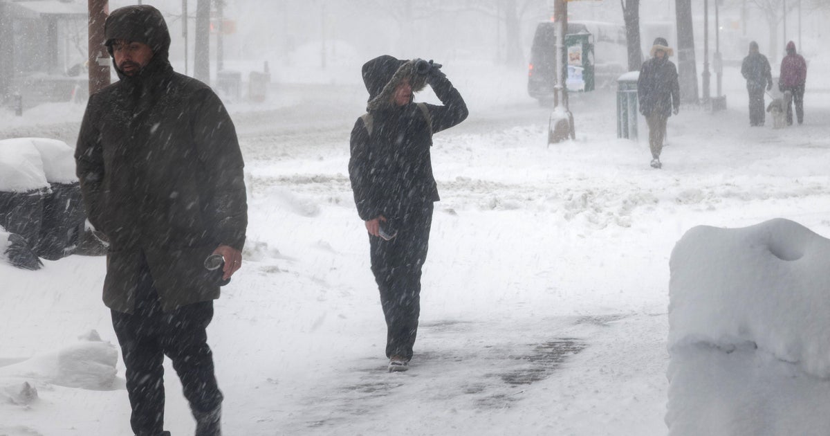
Up And Down Temperatures In The Coming Days
DENVER (CBS4) - A westerly flow in the atmosphere over Colorado on Tuesday will result in winds descending the east side of the Front Range. This phenomenon almost always produces warmer temperatures and Tuesday will be no exception.
High temperatures around Denver and Boulder will be in the lower and middle 50s. The Fort Collins and Greeley areas will stay cooler with highs in the upper 30s and lower 40s. It will also stay sunny all day.
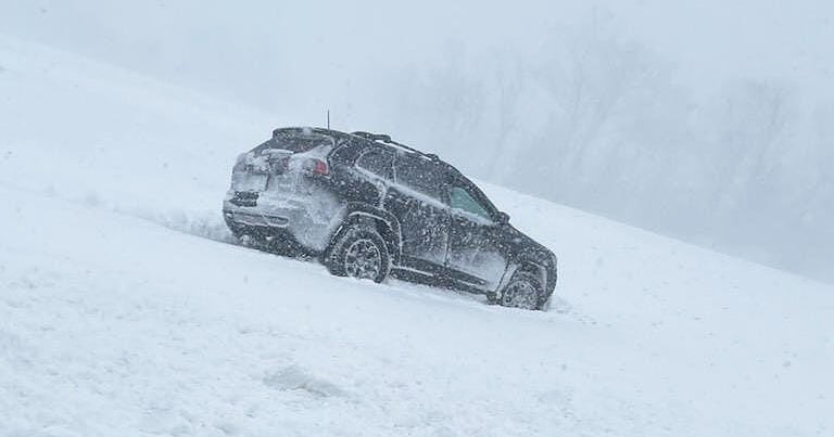
The mountains will also get to enjoy sunshine on Tuesday. Winds will be relatively calm early in the day before becoming gusty again by Tuesday evening. Wind gusts could reach near 60 mph Tuesday night and Wednesday in the mountains causing areas of blowing snow.
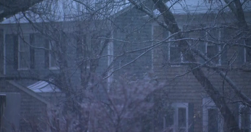
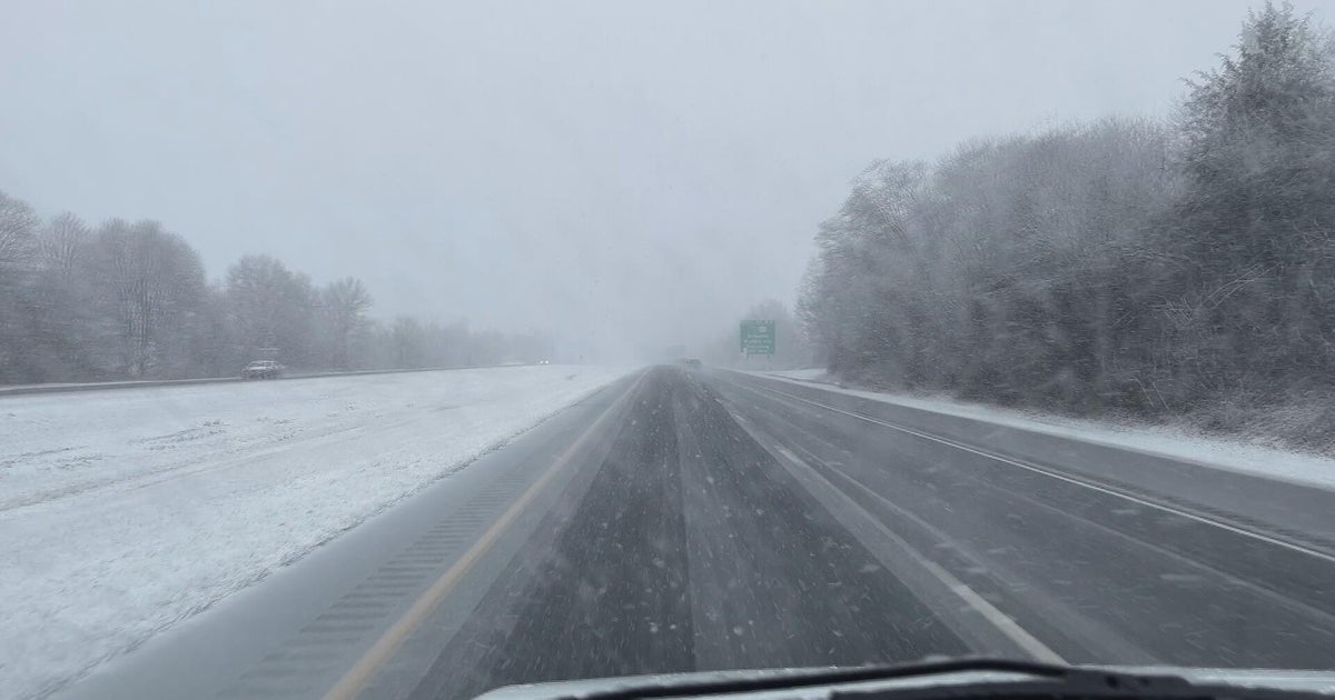
Snow showers will return to the mountains by early Wednesday morning and a total of 2-4 inches is expected along the I-70 corridor in the high country by late Wednesday.
Meanwhile it will stay mostly clear and dry for Denver and the Front Range on Wednesday but it will be noticeably cooler and also breezy at times. However it won't be anywhere near as windy as it was back on Christmas Day. Gusts should get no higher than 35-40 mph in the metro area on Wednesday.
Chilly weather will stick around for Thursday before a welcomed warm up again on Friday with highs in the 50s.
It turns colder for the weekend with highs in the lower to middle 40s in Denver for both Saturday and Sunday. Snow is possible in the mountains Saturday and Saturday night but dry weather is expected to prevail in the metro area. The temperature in Denver at midnight Saturday night will be near 24°.


Ashton Altieri is a Certified Broadcast Meteorologist. Watch him on the CBS4 Morning News weekdays from 4:30 a.m. to 7 a.m. Connect with Ashton on Facebook and on Twitter @AshtonCBS4.