After Storms Clear, Hot & Dry Pattern Begins
By Lauren Whitney
DENVER (CBS4) -
A warmer, but still stormy day in Colorado on Wednesday. A few storms turned severe with large hail on the eastern plains. The small town of Cope saw severe weather in their area for the third day in a row. Golf ball sized hail was detected in that area.
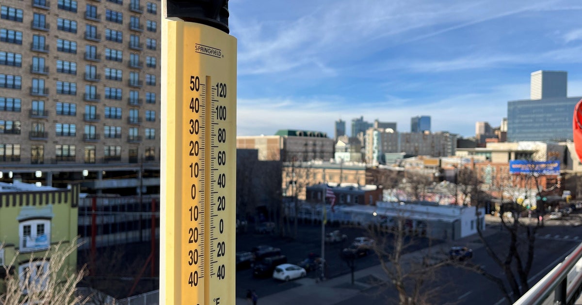
Temperatures climbed to the low 80s in Denver after a few days in the mid 70s.
Thursday we begin a hot and dry trend across the state as a large ridge of high pressure will build over Colorado Thursday which will essentially shut off the chance for showers and thunderstorms virtually statewide. Instead, we'll have sunny skies and very warm temperatures with highs near 90 degrees.
We should hit the low 90s with lots of sunshine on Friday, before cooling off a little on Saturday.


Watch meteorologist Lauren Whitney on CBS4 News on weekday evenings at 5, 6, 6:30 and 10 p.m. Check out her bio, connect with her on Facebook or follow her on Twitter @LaurenCBS4.