A Seasonal Friday Before the Arctic Blast
By Ed Greene
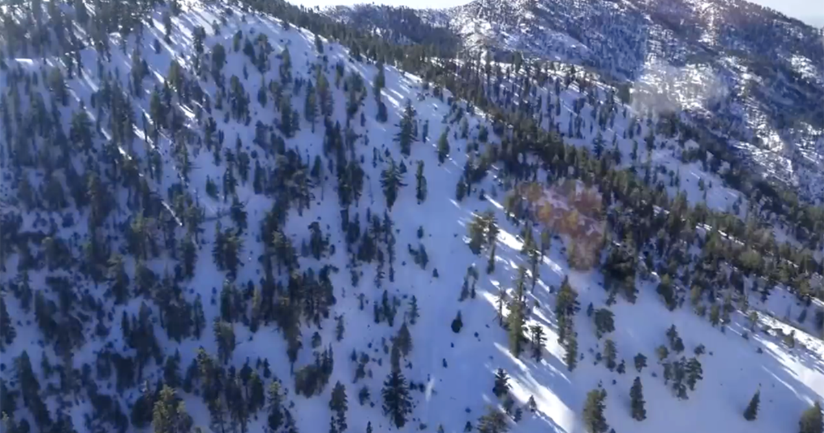
DENVER (CBS4) - As promised...a strong warm-up on Thursday: from the 20s on Wednesday to the mid 50s at the airport and mid 60s at the downtown location! Cooler weather begins to move in on Thursday with a high only reaching the low to mid 40s - about normal for this time of year. The mountains will begin to see a prolonged period of snow with Winter Weather Advisories or Winter Storm Warnings covering most mountain locations for up to two feet of snow, maybe more in some favored areas.
Then artic air will plunge into the state bringing light snow to the front range late Friday into Saturday morning. Snow ends by noon and the sunshine will even return by afternoon, but the cold stays entrenched: high Saturday no better than 5 degrees! Saturday night into Sunday morning we're down to about 7 below zero for the morning low.
Sunday will see partly sunny skies and not quite as cold, high in the mid 20s...then about 10 degrees warmer on Monday under mostly sunny skies. Tuesday we actually will climb a few degrees above the normal high for this time of year (42 degrees) as we get into the mid 40s and the sunshine will stay with us.

Watch Ed Greene forecasting the weather on CBS4 newscasts at 5, 6, 6:30 and 10 p.m. Check out his bio, connect with him on Facebook or follow him on Twitter @EdGreeneCBS4.
ng

