Colorado Weather: Weak Front Will Kick Up Foothill Wind
DENVER(CBS)- After a mild-mannered start to our week we are watching two weak cold fronts that will bring in some wind, mountain snow and a few metro changes too.
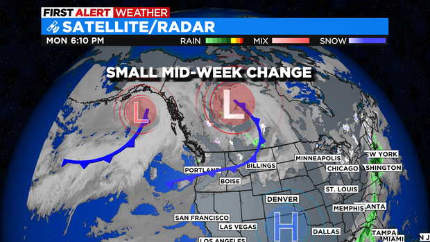
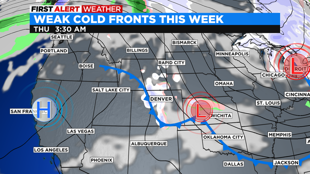
The first front will kick up some wind for the mountains and Front Range Foothills Monday night into Tuesday. Some gusts in the foothills may blow 30 to 40 mph in some spots.
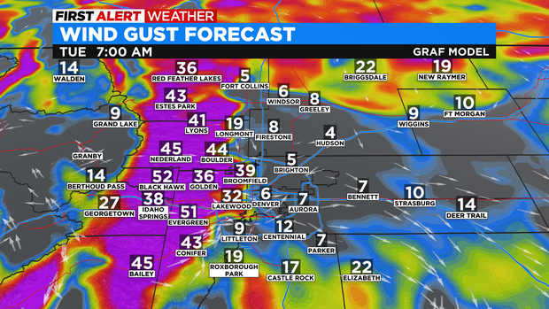
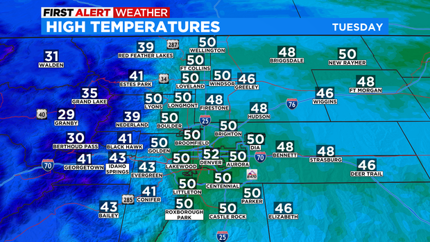
Even with the wind coming thru, skies should stay mostly clear across the state for Tuesday. Temperatures will stay similar to what they were on Monday afternoon. The biggest effect from the dry, Tuesday front will be the strong foothill winds and a wind shift from southwest to northeast in the afternoon.
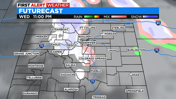
More moisture will flow in on Wednesday afternoon and evening. This little surge will get some snow going in the mountains with around 1 to 3 inches in some spots.
There is also a chance for snow for areas in and near the Palmer Divide. So there could be a few light flurries for parts of Douglas and Elbert county down to Monument Hill.
Another weak front will push thru Friday night into Saturday morning. That system may bring a few light flurries into the Denver metro area. After that a quick warm up for Super Sunday leading into Valentine's Day.