Colorado Weather: Weak Cold Front Set To Drop Temperatures And Bring Light Mountain Snow
DENVER (CBS4) - Gusty winds on Saturday spoiled the warmer temperatures in many areas by making it feel quite chilly. The wind was associated with a weak cold front that will pass over Colorado Saturday night.

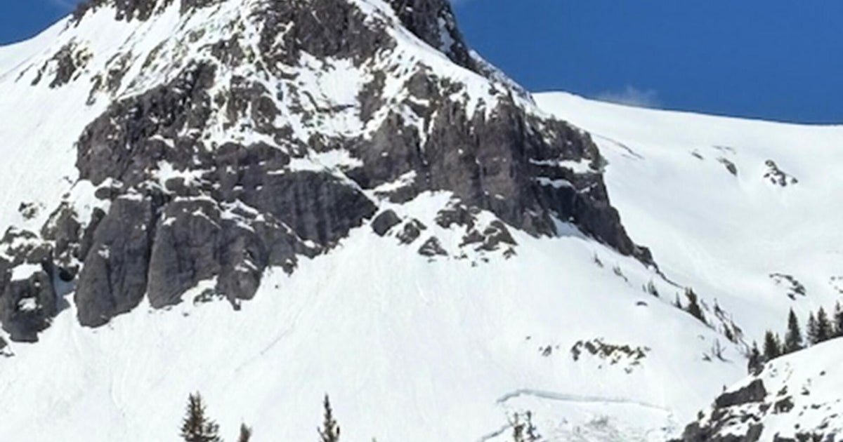
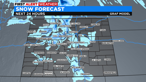
The front has very limited moisture so while the mountains will get light snow Saturday night into early Sunday morning, the vast majority of the Front Range will stay dry.
The exception is areas on the south and southwest side mostly above 6,000 feet where there could be a few light snow showers in the early morning hours of Sunday.
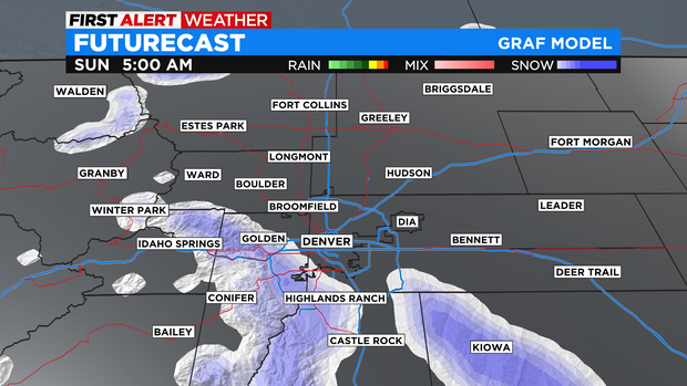
Areas such as Conifer, Bailey, Golden, Roxburgh Park, Castle Rock, Franktown, and Kiowa could get under 1 inch of accumulation.
Meanwhile, accumulation in the mountains won't be much more with generally less than 2 inches of snow at most ski areas.
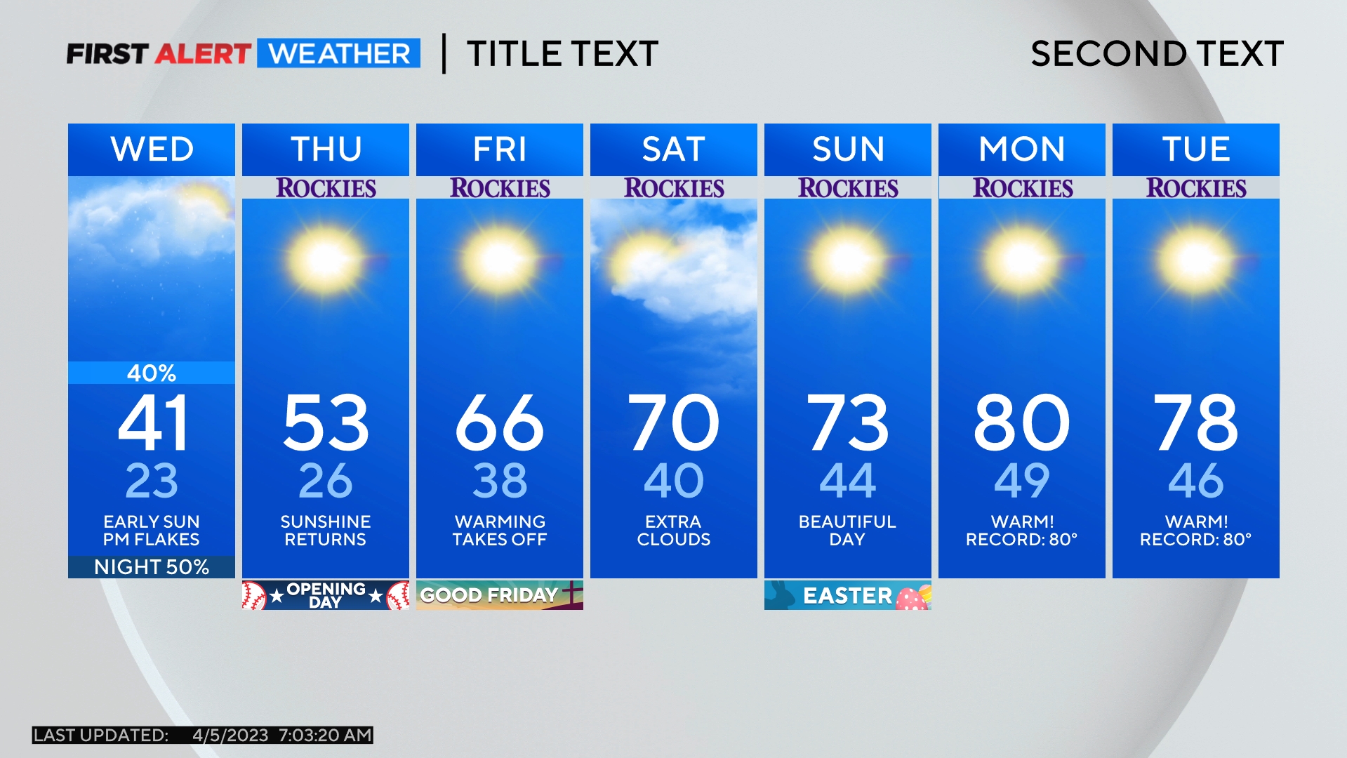
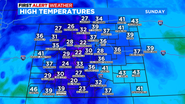
The more noticeable change for most areas will be temperatures. Sunday will be about 10 degrees colder than Saturday across most of the state.
By Monday, the front will have lost it's influence on Colorado and the warmest weather in a week will arrive. Then temperatures will fluctuate through most of next week but there will be no major chances. There are also no good chances for snow in Denver anytime soon.