Colorado Weather: More Waves Of Snow With Dangerous Cold
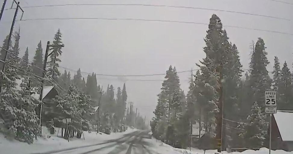
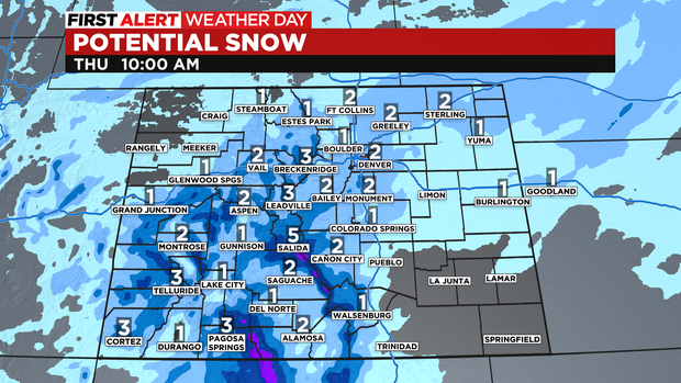
DENVER(CBS)- As our frigid February cold wave rolls on we have a few more waves of snow to look forward to thru Thursday morning. Accumulations will be small but there may be 1 to 2 inches of snow building up over the Denver metro area.
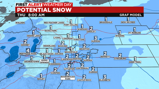
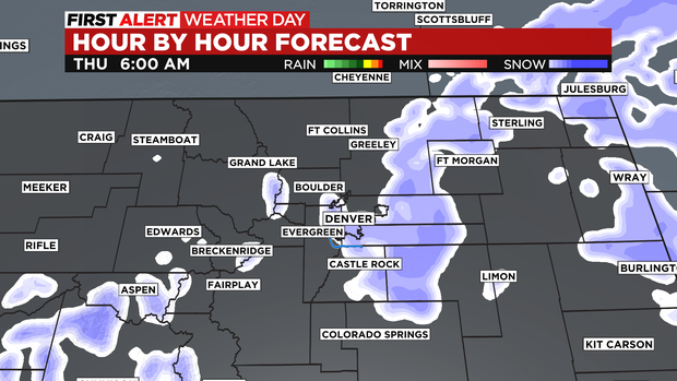
There will be a few snow showers early on in the Thursday morning drive then gradual clearing as the day goes on.
Additional snowfall in the mountains of the Front Range will be another 2 to 6 inches with 4 to 8 inches for western mountains.
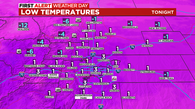
In addition to the snow the cold will again settle in over the entire state. The coldest temperatures will be over the northwest and eastern plains as actual temperatures will drop into the single digits and below zero.
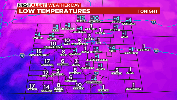
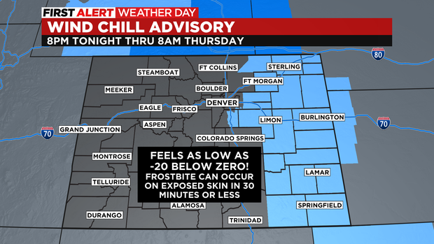
There is another Wind Chill Advisory in place over a large chunk of eastern Colorado thru 8am Thursday. Temperatures in this area cold feel like 20 below zero at times. Anytime the temperature goes below zero frostbite can occur on bare skin in 30 minutes or less.
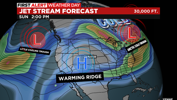
The deep trough of low pressure that took over the country this week will slowly start to move east over the next few days.
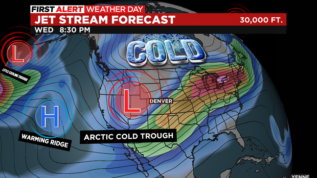
It still looks like a warming ridge of high pressure will move in over the weekend.