Colorado Weather: Few Scattered Storms Expected Saturday
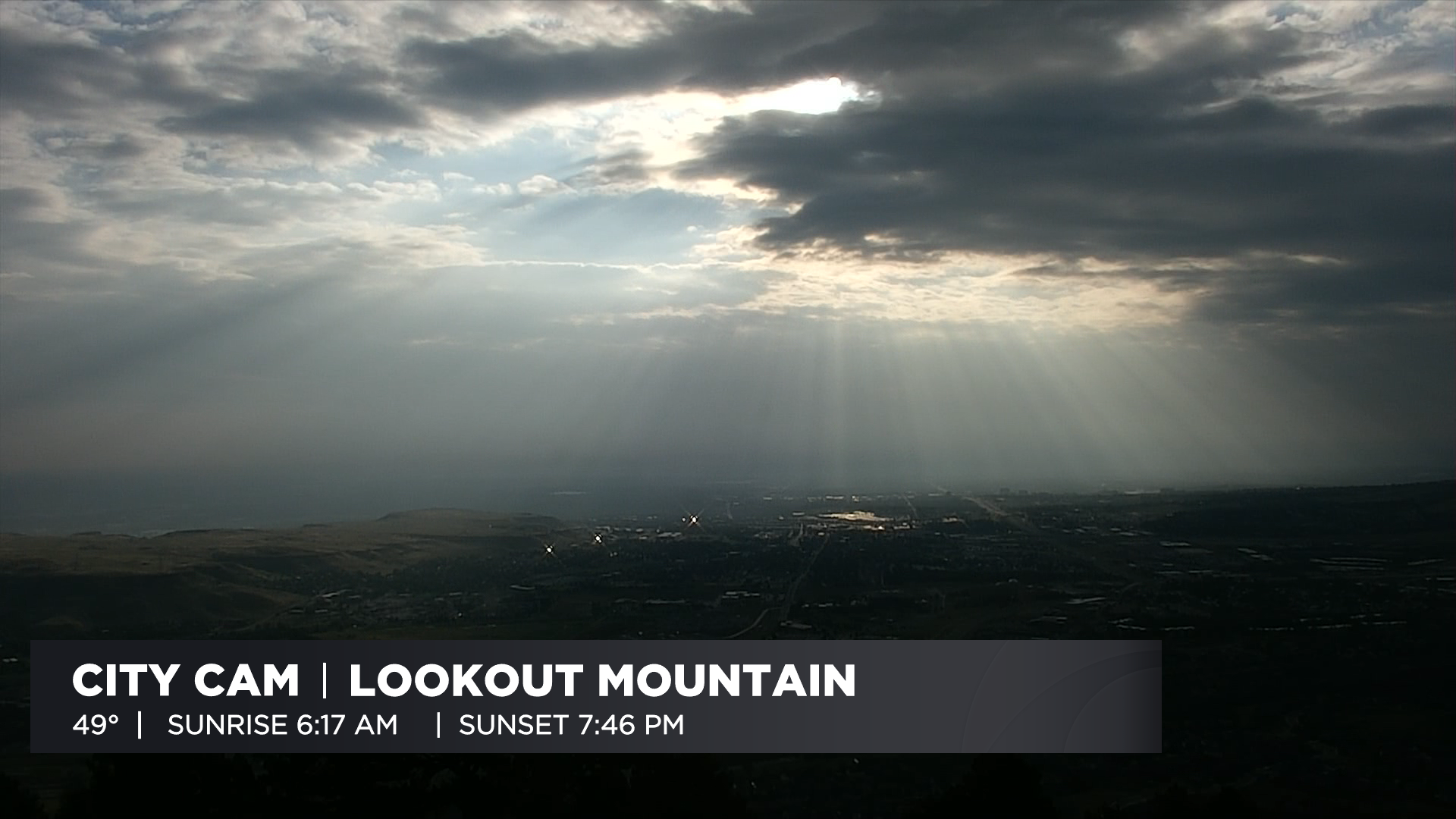
DENVER (CBS4) - Colorado woke up to areas of cloud cover on Saturday thanks to two weather disturbances in the area. It made for a gorgeous sunrise, including along the Front Range, where our camera on the side of Lookout Mountain provided this spectacular view of crepuscular rays.
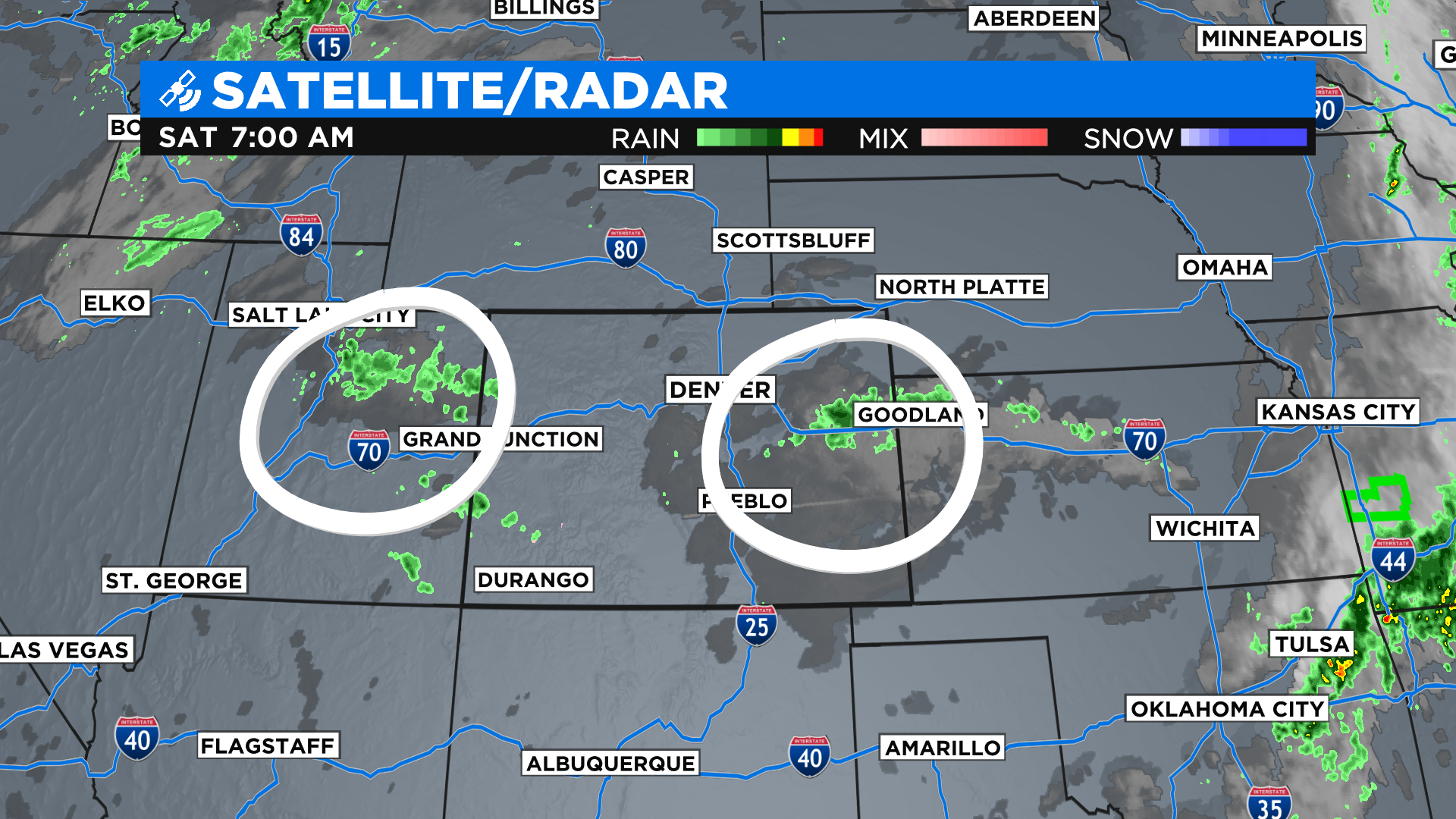
Some of those clouds this morning produced showers on the east-central plains and out west near the Utah state line. The cloudy and showery conditions were being caused by two weather disturbances in the region, circled in white on the map below.
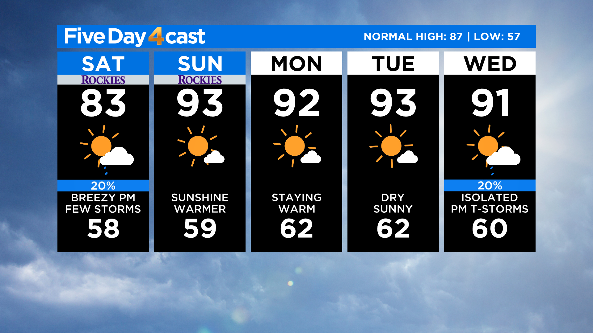
With the two weather disturbances in our area today, we'll see some scattered showers and thunderstorms during the afternoon as we reach peak heating. We are not expecting anything widespread or severe like we saw on Thursday.
In Denver, the best window of opportunity to see a storm would be between 3-6 pm. Any storms that roll through shouldn't last too long and the main threats would be some gusty wind speeds and moderate rain for about 15 to 20 minutes.
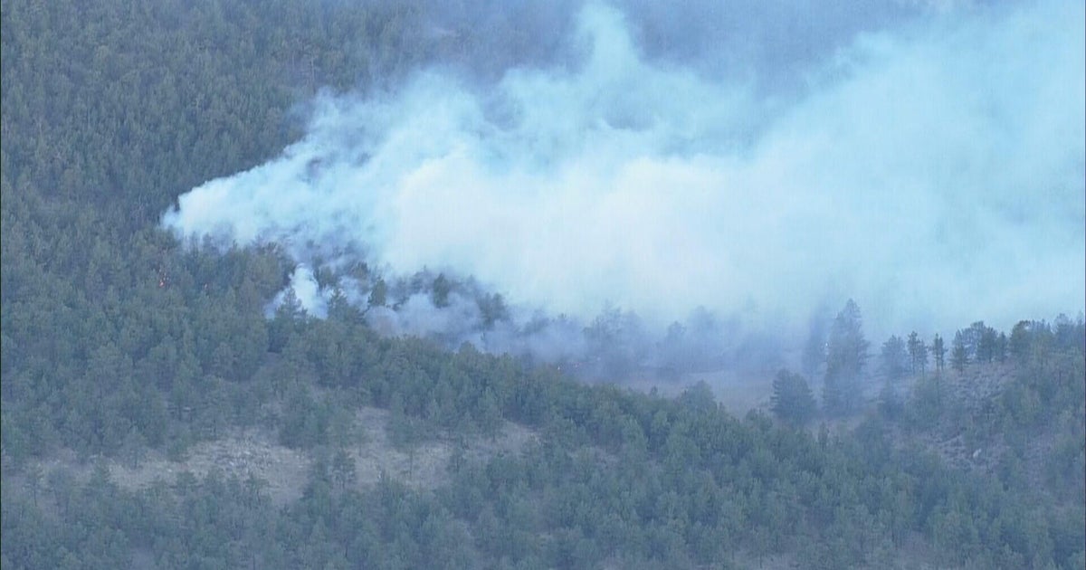
Looking into the week ahead it looks like we will be dry and hot for most of it with afternoon highs in the 90s expected once again across the lower elevations, including in Denver. Our fire danger will climb this week and it could be extreme at times on the plains and western slope.
By Wednesday, we could see a little bit of monsoon moisture come back into the picture. If that happens some afternoon showers and thunderstorms will be fair game once again.