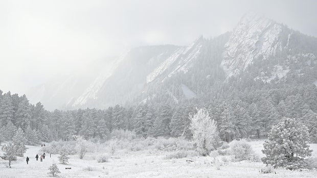
Arctic blast has arrived in Denver, evening snow expected

Frigid arctic air will linger across the Eastern Plain of Colorado through Thursday morning.
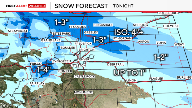
Before we unpack the cold, on-and-off snow will linger through Tuesday evening. By about 5PM, a heavier band will set up to the north of Denver, along I-76 and northern I-25. A majority of the Front Range will see <1", with 1-4" for the mountain corridor of I-70 and generally 1-3" up I-76. A narrow band will develop near Fort Collins and extends towards Fort Morgan, this band will be capable of produce 4" or 5" of snow.
High temperatures will top out in the teens on both Tuesday and Wednesday, reaching the 20s by Thursday. This means dangerous wind chills to 25 degrees below are expected through Thursday, mainly on the far Eastern Plains. Be sure to bundle up and limit exposed skin, frostbite can occur in as little as 30 minutes.

Arctic air is so dense it is physically unable to make it up the mountains. For this reason. temperatures will be warmer the higher the elevation you are in Colorado.


