Calm Winter Weekend Ahead For Chicago
Compared to most of the East Coast, Chicago will have it very easy in terms of winter weather this weekend, with only a bit of light lake effect snow on Friday.
Watch CBS News
Compared to most of the East Coast, Chicago will have it very easy in terms of winter weather this weekend, with only a bit of light lake effect snow on Friday.

Light snow and flurries were still falling during the Wednesday morning commute, but should end by mid-morning, as a slow warming trend begins for the Chicago area.

Tuesday's high was expected to reach about 15 degrees; better than Monday's high of 7, but still well below normal for mid-January, when the high is usually in the low 30s, according to the National Weather Service.

Pile on the hats, scarves, and gloves on Monday; even if you're only outside for a few minutes. Temperatures will be in the single digits, or even below zero, virtually all day on Monday.

After enduring more than three days of frigid temperatures, Chicago residents will have a couple days to thaw out before single digit temperatures rear their ugly heads again.

Icy roads and blowing snow created a big mess of many Chicago area roads this morning, making for a very rough morning for many commuters.
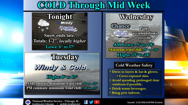
Monday's snow showers have given way to strong winds and frigid temperatures on Tuesday.
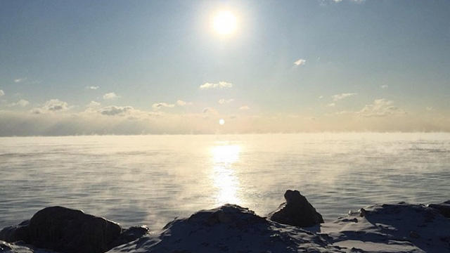
Monday morning's low temperatures were the coldest in nearly a year.
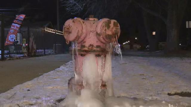
Winter's first bitter blast sent temperatures down to 1 below zero around 6 a.m., with a wind chill as cold as 18 below overnight at O'Hare International Airport.

The mild weather will come to an end for the Chicago area this weekend, as several inches of snow are possible Saturday night, followed by a blast of bitter cold on Sunday.
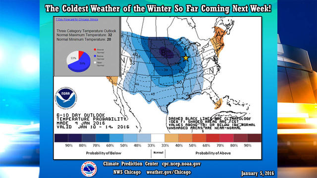
Temperatures should remain above normal for the next few days, but the coldest weather of the winter is coming next week.

Flakes likely will begin falling late Monday morning along the lakefront. According to the National Weather Service, an accumulation of about an inch is expected quickly in Lake and Cook counties in Illinois, and Porter and Lake counties in Indiana.
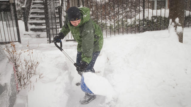
From the coldest February in 140 years to the strongest tornado in 25 years, the Chicago area has seen its fair share of historic weather events this year.

The Chicago area will get a bit of a break to clean up from Monday's messy winter storm on Tuesday, before a slight chance for snow on Wednesday, and then much colder weather will arrive later in the week.
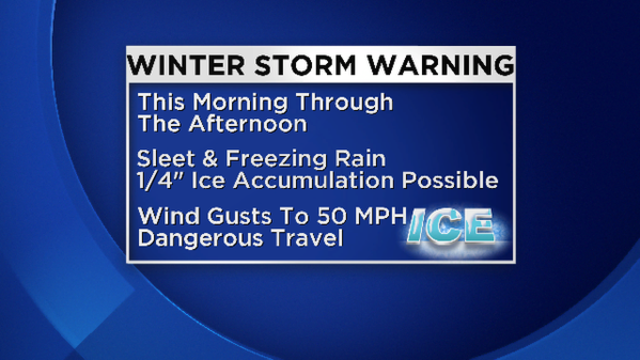
A combination of freezing rain, sleet, and high winds has knocked out power to thousands of homes and businesses in the Chicago area, and prompted airlines to cancel more than 400 flights at O'Hare and Midway airports on Monday.

Cooler temperatures have returned to the area after Chicago fell a couple degrees short of matching a record for December warmth yesterday, although conditions will remain a bit milder than normal for this time of year through next week.

The sightings were all reported between 4:15 p.m. and 4:45 p.m., according to the National Weather Service. One was seen three miles east of Blandinsville, another a mile north of Sciota.
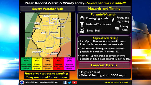
As temperatures rise, thunderstorms should develop in the afternoon, and continue through early evening. The storms could produce damaging winds, and might allow for an isolated tornado.

Chicago could break a record for warm weather on Wednesday, as temperatures are expected to get into the 60s.

Chicago is in for a bit of a cold spell the next few days, before unseasonably mild weather returns next week, and we're more likely to see a wet Christmas than a white Christmas.

An unseasonably mild start to December will take a bit of a break later this week, as temperatures will dip into the 30s later this week.

Chicago will see near record warmth this weekend, and if forecasts hold, there could be five straight days of temperatures in the 50s, which hasn't happened here in December in more than a decade.

The next week should be very mild for Chicago, with temperatures possibly approaching record warmth this weekend.

Drivers on the roads throughout the metro area Monday morning should watch out for dense fog, according to a hazardous weather alert from the National Weather Service.

It's going to be a great weekend to put up your holiday decorations, with mostly clear skies and temperatures well above normal through the weekend, and well into next week.