Lake Effect Snow Warning Continues For Chicago Area, Northwest Indiana
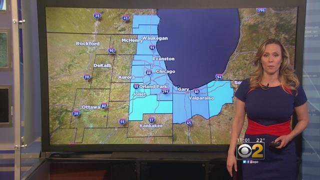
The Lake Effect Snow Warning issued Monday morning by the National Weather Service remains in effect for the Chicagoland area.
Watch CBS News
The Lake Effect Snow Warning issued Monday morning by the National Weather Service remains in effect for the Chicagoland area.
Here are the snow totals reported to the National Weather Service for snow that fell between 7 a.m. Monday and 7 a.m. Tuesday:

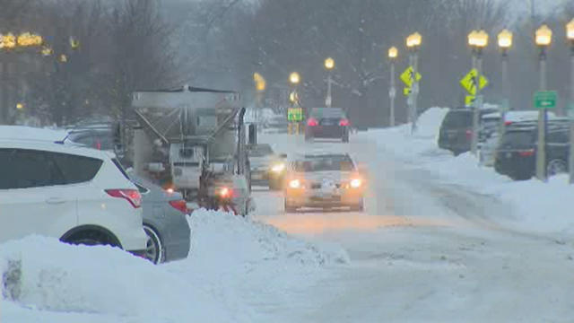
Heavy lake effect snow created near-whiteout conditions in part of the Chicago area on Tuesday, threatening to dump up to 10 more inches on top of Monday's snow.
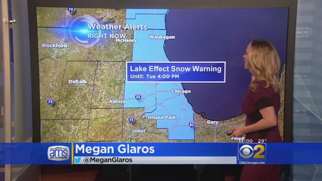
The National Weather Service issued Monday morning a Lake Effect Snow Warning for the Chicagoland area.

Chicago saw its first significant snowfall in nearly three months overnight, but the heaviest snow hit north and west of the city. Here are the snow totals reported to the National Weather Service as of 9:30 a.m. Monday:

With the first significant snowfall in Chicago in nearly three months, airlines have cancelled more than 500 flights at O'Hare and Midway airports Monday morning.
More than 200 snow trucks were deployed across Chicago early Thursday as forecasters predicted snow showers throughout the morning.

The tornado at its most intense was moving at 155 mph. WBBM's Steve Miller reports.

The National Weather Service was sending out teams to confirm reports of seven tornados touching down Tuesday afternoon and evening in LaSalle County, killing at least one person, and leaving behind extensive damage.

Chicago might not match the record for warmest Feb. 22 on record on Wednesday, but the city did set a different one: the longest stretch of 60-plus temperatures ever recorded in meteorological winter in the city.

So much for the groundhog's forecasting prowess. For the fourth day in a row, Chicago has set a record for warmth in February, a trend that easily could continue the next couple days.

Chicago set records for warmth three days in a row this weekend, and several more temperature records could go by the wayside by the end of this week.

For the third day in a row, Chicago broke record on Sunday. According to the National Weather Service, the temperature at O'Hare reached 66 degrees, breaking the previous Feb. 19 record high of 65 set in 1930.

Chicago broke Saturday a 36-year-old record for warm weather in February.
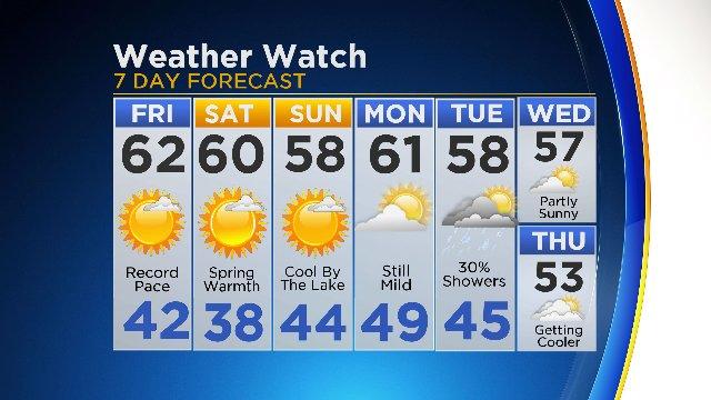
Chicago broke a 137-year-old record for warmth today, and we could see a couple more temperature records go by the wayside over the next few days.

Chicago has gone nearly two months without a full inch of snow in any one day; in fact, there hasn't been an inch of snow overall since the start of winter.

The advisory is in effect until noon and covers most of northern Illinois and parts of northwest Indiana, according to the National Weather Service.

A flood warning is in effect for the Chicago region until 7:45 a.m., while a dense fog advisory is in effect until 10 a.m., according to the National Weather Service.
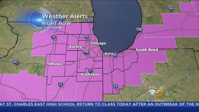
The National Weather Service has issued a Freezing Rain Advisory for parts of Illinois, Indiana and Michigan throughout the late morning.
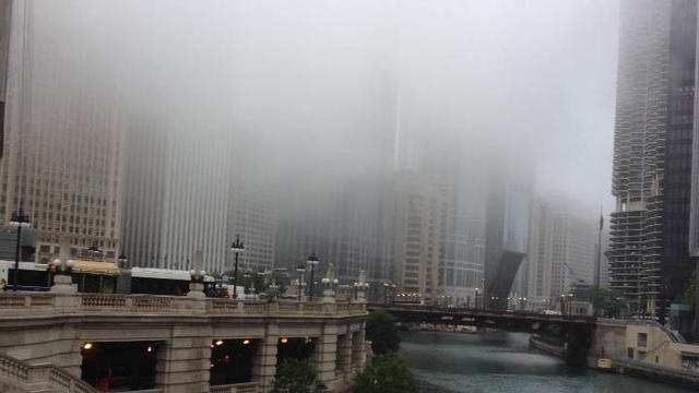
The National Weather Service has issued a Dense Fog Advisory until 9 p.m. Wednesday.

The National Weather Service has issued a Freezing Rain Advisory from 5 p.m. Wednesday to midnight for parts of Illinois.

Chicago flirted with record cold Monday morning as temperatures plummeted overnight, reaching well below zero before dawn.

The Winter Weather Advisory remains in effect for the Chicagoland area until 6 a.m. Sunday, followed by a Windy Chill Advisory from 6 a.m. Sunday until 10 a.m. Monday.

The National Weather Service issued a Wind Chill Advisory for the entire Chicagoland area effective until 10 a.m. Thursday morning.

Chicago got nearly eight inches of snow over the weekend, forcing airlines to cancel more than 1,000 flights, and now the city must brace for much colder weather later in the week.