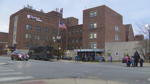
Breezy with clearing skies for Monday in Chicago
Sunshine makes a return Monday as clouds clear throughout the day and temperatures jump into the lower 40s.
Watch CBS News
Sunshine makes a return Monday as clouds clear throughout the day and temperatures jump into the lower 40s.

Temperatures will become more seasonal in the 30s by Wednesday.

Highs Sunday afternoon across Chicago will be in the upper 20s and lower 30s with flurries passing by.

A few lingering snow showers may favor northwest Indiana Sunday morning.

Meteorologist Kylee Miller has your 4 p.m. First Alert Weather forecast for Thursday, Jan. 8, 2026.

Rain is expected to move in after lunchtime on Thursday. Light at first, then heavier as the evening wears on.

We will briefly enjoy more sunshine on Wednesday before a widespread rain-making system moves in.

Skies stay mostly cloudy tonight with above-average temperatures in the 30s and 40s.

Meteorologist David Yeomans has your 11 a.m. First Alert Weather forecast for Tuesday, Jan. 6, 2026.

Meteorologist Laura Bannon has your 6 a.m. First Alert Weather forecast for Tuesday, Jan. 6, 2026.

Much warmer than normal temperatures will dominate the work week, with highs in the 40s to lower 50s each day.

This will carry over into Tuesday, mainly near and north of I-80 including the Chicago area

Meteorologist Laura Bannon has your 5 a.m. First Alert Weather forecast for Monday, Jan. 5, 2026.

Unseasonably warm this week with highs in the 40s. We may reach 50 degrees Thursday.

Meteorologist Mary Kay Kleist has your 6 a.m. First Alert Weather forecast for Sunday, Jan. 4, 2025.

After dark, there will be a small window of opportunity for a light wintry mix to drift across areas along and north of I-88. Timing looks to be 5-9 p.m. for a light mix of freezing rain, sleet & snow.

Clouds will increase during the day on Sunday as a disturbance passes to our north.

A quick dusting is possible near the state line as the system does not have a lot of moisture to work with.

A weak Clipper system now over the eastern Dakotas will move through Wisconsin today, possibly brushing our northern counties with snow showers early afternoon.

Meteorologist Laura Bannon has your 11 a.m. First Alert Weather forecast for Wednesday, Dec. 31, 2025.

Meteorologist Mary Kay Kleist has your 8 a.m. First Alert Weather forecast for Wednesday, Dec. 31, 2025.

Meteorologist Laura Bannon has your 5 a.m. First Alert Weather forecast for Wednesday, Dec. 31, 2025.

Temperatures won’t fall much overnight and may even inch upward, settling into the mid to upper 20s by Wednesday morning.

Snow will gradually taper later tonight. Temperatures won’t fall much overnight and may even inch upward, settling into the mid to upper 20s by Wednesday morning.

Clouds return Tuesday with light snow flurries possible at times, then another clipper system brings a higher chance of light snow on New Year's Eve.