Chicago First Alert Weather: dense fog advisory in Chicago area; tornadoes downstate

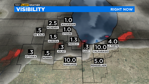
CHICAGO (CBS) -- Poor visibility Tuesday afternoon due to fog. Warm air from the south keeps creeping closer as a stationary front starts lifting northward.
A dense fog advisory is now in effect for most of Cook County, as well as DuPage, Kane, Kendall, Grundy, LaSalle, DeKalb, and northern Will counties, and Lake County, Indiana. The advisory is in effect until 9 p.m.
Visibility could be a quarter mile or less.
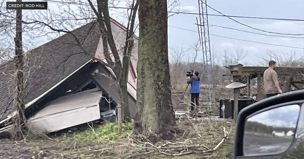
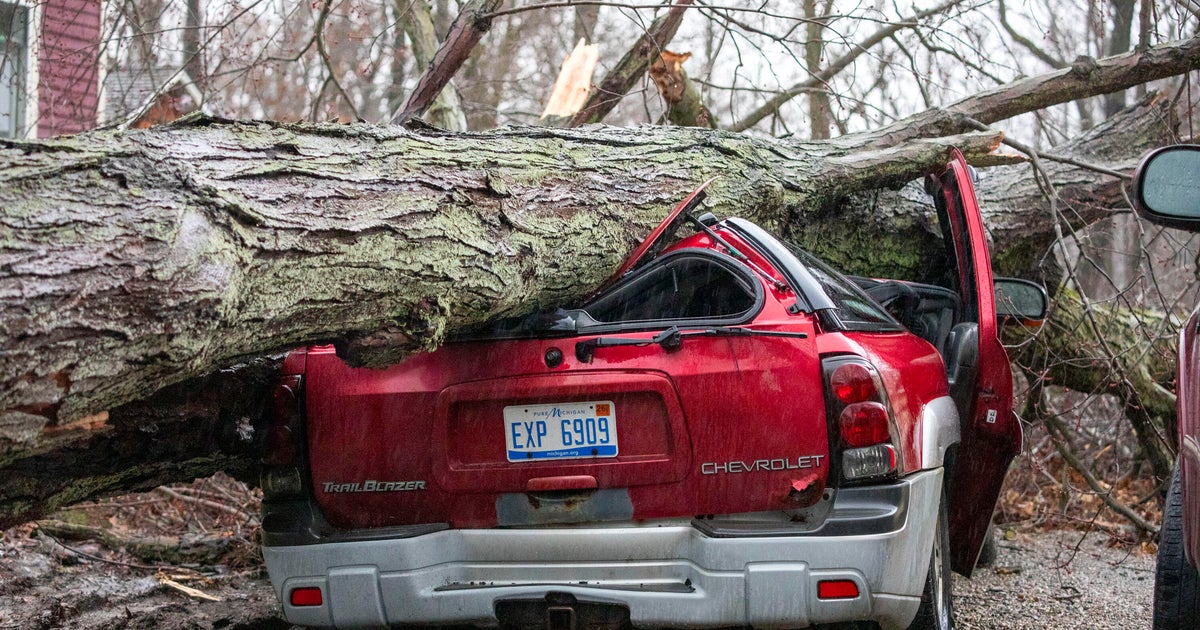
Meanwhile, severe storms were blasting through downstate Illinois late Tuesday afternoon, and tornadoes were spotted in some areas.
Tornado warnings were issued for southwest Logan County, central DeWitt County, and northern Christian and east central Sangamon counties in Central Illinois.
A tornado was confirmed over rural areas of Logan County – the county where Lincoln, Illinois is located. A confirmed tornado was also reported near Clinton, Illinois. A third thunderstorm system capable of producing a tornado was spotted near Edinburg, 12 miles southeast of Springfield.
Storms are moving northeast from 25 to 40 mph. A strong thunderstorm could hit the CBS 2 viewing area before 8 p.m., though it is not likely to make it to the city.
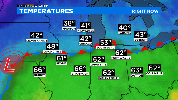
Temperatures late Tuesday ranged from 40 degrees near the Wisconsin state line to the lower 60s south of I-80.
Fog, and drizzle linger tonight.

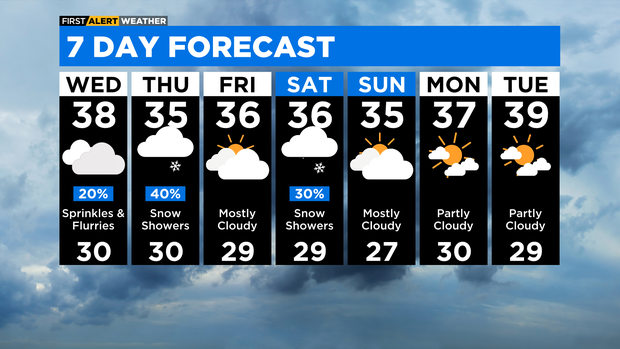
Colder air moves in tomorrow to create wet snowflakes the next two days.

TONIGHT: DRIZZLE & FOG. LOW 37.
WEDNESDAY: SPRINKLES & FLURRIES. HIGH 38.
THURSDAY: SNOW SHOWERS. HIGH 35.