Weekend Woes?
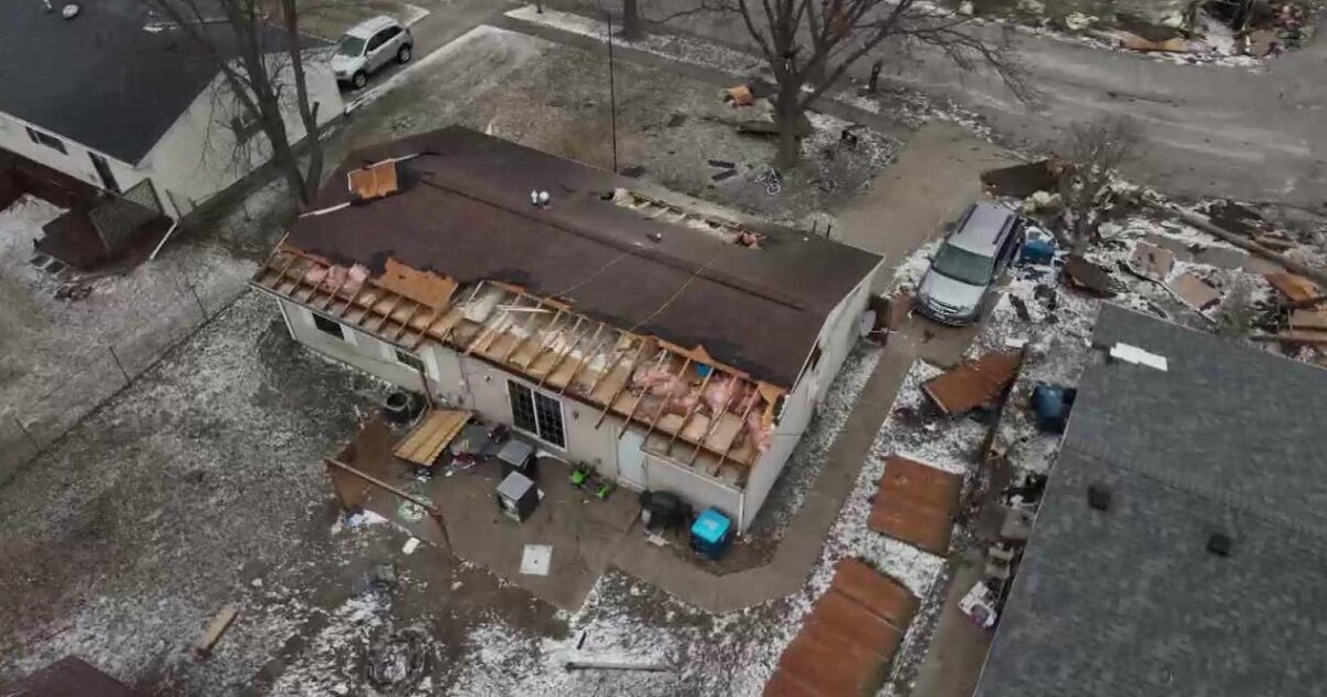
It was a mighty interesting afternoon as NOAA's Storm Prediction Center issued a TORNADO WATCH for much of southern New England! A rather strong shortwave disturbance/vorticity center embedded in rather potent cyclonic flow started to produce spin-ups over eastern Long Island then onto South Coast of New England. Closer to the center of atmospheric spin, the Doppler Radar was depicting a tornadic signature with indications of a touchdown near South Glastonbury, CT where much tree damage was reported. Although unconfirmed presently, radar continued to display the track of the possible twister to near Manchester to Vernon to Rockville to Somers then up near or just over the border of CT/MA border just east of East Longmeadow before dissipating. Within a large drenching band of rain, radar also detected rotation in some individual cells resulting in spotty spin-ups produced by the strong cyclonic flow of the shortwave interacting with the frictional force induced by topography. For me, it is interesting and perhaps perplexing that the tornado watch was extended so far to the north of the MA Pike. In any event, the TORNADO WATCH expired at 9pm and we're just looking at a risk of a few spotty showers the rest of this very muggy night.
We're still stuck in the same airmass for the weekend leading to the threat of additional showers and storms at any time. However, I do not see a repeat of today's widespread torrential rain. Instead, the activity will be more scattered but still capable of tropical downpours and lighting. There is no indication at this time that atmospheric parameters will warrant another Tornado Watch this weekend but we will continue to monitor the situation for some scattered strong thunderstorms. There is some evidence that another wave could result in more widespread showers and storms on Sunday before the frontal boundary shifts offshore. Daytime highs aided by splashes and spells of sunshine will reach the middle 80s except a bit lower at south-facing coastal locations. Emphasis, however, will be on lots of clouds much of the time and during the night, some patchy form could form.
Looking ahead, it will clear out and become less humid Sunday night leading to a delightful rain-free Monday with plentiful sunshine and highs of 84-88. Similar weather is expected Tuesday after a more comfortable night in the lower to middle 60s Monday night. The next weather maker will be approaching Tuesday so we will be noticing some increasing clouds later in the day. This system will release more showers and storms on Wednesday and some of this may leak over into Thursday.
Joe Joyce will deliver his AccuWeather Forecast in the morning and I shall return later in the day.
Have a happy and safe weekend.
