Spring Forward
Although astronomical spring doesn't arrive until 7:02am on the 20th of this month, we'll still keep the old saying of "spring forward 1 hour" as Daylight Saving Time returns tomorrow. That means we'll lose some daylight in the morning and gain it in the evening. The sunrise will change from 6:06 this morning to 7:04 tomorrow morning. The sunset will change from 5:44 this afternoon to 6:45 tomorrow evening. That is a sure sign that real spring is on its way. Following yesterday's extraordinary and unprecedented storm, we deserve some springlike weather.
After precisely predicting the Blizzard of 2013 a month ago, the accuracy, sorrowfully, caved in with this recent storm. It's obviously much easier to hindcast than forecast but I am understanding more fully how I failed to correctly forecast the scope and magnitude of this storm until whiteout conditions developed during the early stages of the morning commute. Check out this explainer link from WBZ-TV Executive Weather Producer, Terry Eliasen. Honestly, in my near 40 years in this business, I have never seen such a bizarre setup where a storm centered more than 600 miles southeast of New England delivered such a huge volume of precipitation which was snow over most of the region except much of Cape Cod. The upper air pattern was comprised of a major low pressure system well southeast of New England. Another player was a potent shortwave disturbance diving southeast through NY to NJ then over the Atlantic. The bridging between these two features resulted in a long corridor of easterly winds aloft which steered moisture from the so-called comma head of the intense ocean storm westward across southern New England. Perturbations in that flow produced periods of intense snowfall. Typically, I would have expected the moisture to weaken as it traveled the elongated distance from its source. Some of the mathematical guidance models were cranking out large amounts of precipitable water but it seemed overdone. Couple that with the error in the anticipated snowfall density due to a slightly colder environment and the outcome is that the snowfall totals far exceeded expectations. In fact, the amounts are absolutely astounding. In a few isolated locations, there was actually a bit more snow from this system than the real Blizzard of 2013 on February 8-9! Case in point is the Blue Hill Observatory in Milton where it turned out to be the 5th biggest snowstorm on record at 29.8" just ahead of the 26.6" which accumulated last month on the 8-9th! Boston's 13.1" raises its seasonal total to 55.9" which is above the average of 43.8". Worcester's 22.8" from this storm jacks the seasonal total to 101.7" makes it the 6th snowiest season on record well above the average seasonal amount of 64.1". For more reports, look at this lengthy list compiled by the National Weather Service.
Now that the beast has departed, we can enjoy lots of bright sunshine today except over Cape Cod and parts of Plymouth County where lots of lower clouds will exist. The wind will remain gusty to 30 mph or so over the Cape and 15-25 mph along the rest of the coastline up through the North Shore. A Coastal Flood Advisory issued by the National Weather Service for minor coastal flooding around the 9am high tide today will be discontinued at midday. The ocean remains rough with big breakers crashing onto the beaches for the next couple of days. Expect high temperatures in the lower to middle 40s today causing some melting snow so watch out for areas of black ice tonight as it cools below 32. The clouds over southeastern New England may become more widespread approaching the Boston area later today or especially tonight and tomorrow so the most sunshine tomorrow will be farther north and west of the city as a light sea breeze blows and keeps the coast chilled to the upper 30s while it warms to the middle 40s well inland. After a ridge of high pressure shifts offshore tomorrow night, a southerly flow will escort milder air into the region. The first part of the new week will be balmy with highs in the middle 50s on Monday and 50-55 on Tuesday. The big meltdown gets underway then along with the next weather makers namely a frontal boundary and wave disturbance arriving on Tuesday releasing rainy spells Once the system moves offshore, cooler and breezy weather in the 40s will arrive on Wednesday with a mix of clouds and sunshine. It will be even a bit colder with highs in the upper 30s on Thursday.
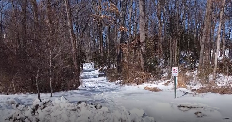
For the skiers, riders and snowmobilers, most of the trails are in great shape over New England including southern areas that received the bulk of yesterday's snowfall. Most of the resorts are sporting packed powder, groomed primary surfaces with a bit of loose granular snow up north. Some of the glades and natural trails could use some fresh snow but none is in sight at this time. Instead, milder air will be flowing into the region with the next precipitation slated to be rain. Enjoy the dynamite conditions through Monday as temperatures rise from mostly the 30s this weekend to the 40s at the beginning of the week. Please be cautious and courteous on the trails and have a blast!
If any new data warrants a change in the thinking above, I will post a fresh blog this evening. Otherwise Joe Joyce returns tomorrow morning and I shall be on duty later in the day.
Have a great weekend!