Dangerous Cold On The Way
In typical January fashion, cold air will invade much of the country this week with artic air plunging into New England late Wednesday.
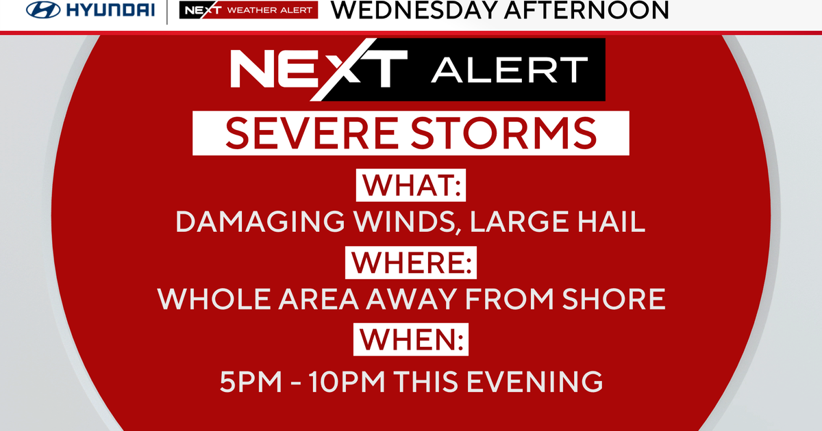
There will be several blasts of frigid air...the first is actually moving through right now. Our mild midnight temp of 50 in Boston has been replaced by 30s now, and the mercury will continue to drop through the day today. By early this evening temps will be in the 20s for many of us. Strong wind is ushering in the cold – and gusts will top out between 40-50 mph this afternoon resulting in some isolated pockets of tree/powerline damage regionwide.

The wind is so strong that lake effect snow bands could travel all the way into eastern MA causing a few very localized snow showers and flurries.
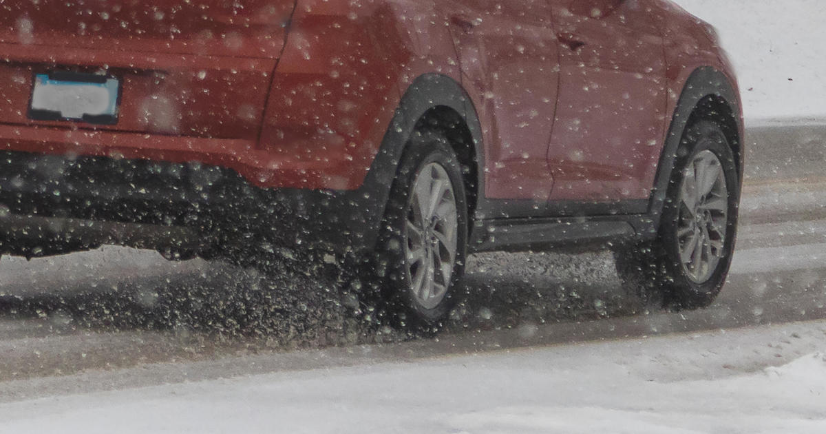
A wave of low pressure will pass to our south tomorrow accompanied by some scattered snow showers that could drop a coating to 1" of snow tomorrow evening. Wednesday will feature a threat for snow showers and squalls too as an arctic front moves through. We'll monitor this threat closely as any squalls that do develop will produce localized, heavy bursts of snow.
Watch: Danielle's latest forecast:
Behind that front, bitterly cold air arrives. Low temperatures Wednesday night will be SUB-ZERO in many communities…and on top of that, the northwest wind will be gusting between 25-35 mph. Feels like temperatures will be brutally cold (15-30 below zero) with actual temperatures only responding into the teens for highs on Thursday afternoon.

You don't want to mess around with this type of cold - exposed flesh can freeze in 30 minutes or less at these readings. So layer up and be safe!
The heart of the cold will ease heading into the weekend… so expect a gradual moderation in temperatures by then.
-Danielle