Accumulating Snow Tuesday Night
For all cold related factoids, I refer you to Eric's blog from earlier this morning - great info & no need to repeat it here. Let's focus on the snow on the way for tonight. A quick moving area of low pressure will pass to our southeast tonight grazing us with a period of light to moderate snow. Our snow ratios will be high with this event (as has been the case for many of our snowstorms this winter) due to the cold air in place, so the snow will be fluffy and accumulate quickly as it comes down.
Timeline:
Clouds thicken this evening, snow arrives to the south coast around 11 PM, spreading into Boston around midnight and to the NH border near 1 AM. The steadiest snow falls from 1 AM to 4 AM, tapering off from west to east between 5-6AM. In other words, it's in and out pretty quickly…gone by rush hour. Plows will be out and some slippery spots will remain, so it's worth leaving extra time for your commute.


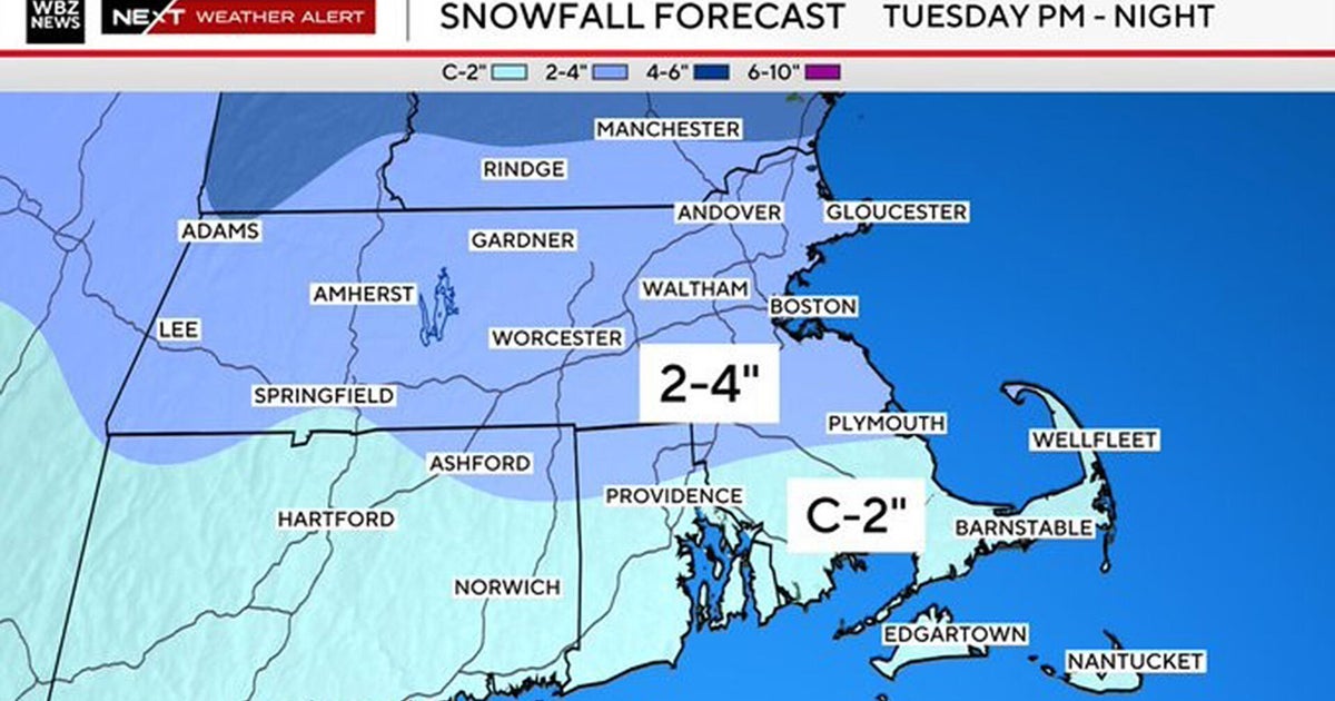
Amounts:
A widespread 2-4" in eastern MA (128 points east) with a few locally higher amounts possible. Outside of 128, it's a coating to 2" for most.

The sun will be out early tomorrow and temps won't be nearly as cold as today. In fact, the strong sun angle will promote melting tomorrow as highs come up around the freezing mark during the afternoon.
After that? More cold. We'll be well below average again to end the week. Watch for some icy patches Thursday morning.
Countdown to Spring: 24 days
-Danielle