A Wednesday Walloping!
For opening remarks, I just want to apologize for no 6:30pm newscast on WBZ-TV. I know a lot of viewers were looking forward to the weather forecast but basketball OT caused our pre-emption. It is not my fault, of course, but it is very frustrating for you and me when sports events don't end on time. It could have been worse if the impending storm was happening tomorrow! Also, on the bright side, we are lucky enough to have this forum where I can elaborate much more than I could ever do on a 2-minute weathercast on television. By the way, there will be a full newscast at 11pm.
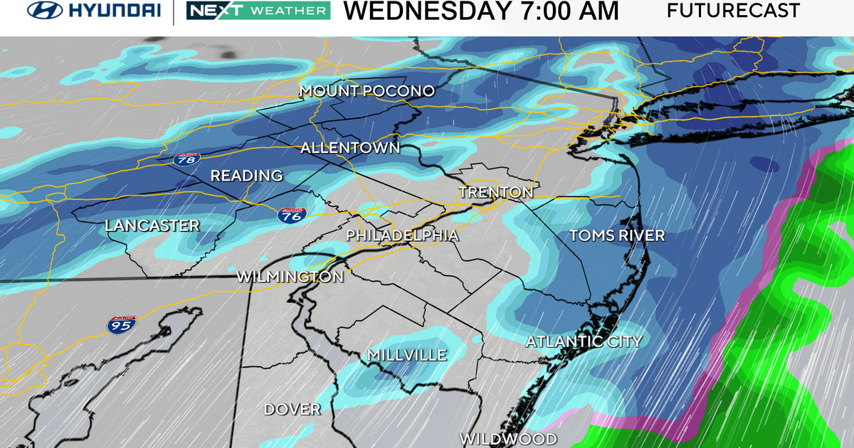
In the meantime, here's the skinny on the week ahead. Clearly, it is highlighted by a potential Wednesday walloping. I am highly confident of a direct hit but all of the specifics are indeterminate at this time. We have a good cast of characters for this story to unfold. The trick is determining if there will be twists in the plot. We hardly ever get a major storm without a veritable array of precipitation types getting into the act somewhere in the region and this one looks to be no exception to that rule. Presently, the pinpointing of the penetration northward of the mixing zone is impossible. Most all of the parameters that I am studying are persuading me to pull out all the stops for a snow job yielding a foot or slightly more in much of the Boston area due in part to the projected tracks of the storm at all levels from the surface up through 850mb, 700mb and 500mb. However, slight shifting of these features can create a significantly different outcome in some areas. The low level ageostrophic flow is leaning more northerly which should lock in cold air for snowfall production across much of southern New England. However, a switch to rain over the Islands and on up over Cape Cod seems likely with mildler low level air flowing in from the ocean. I am thinking that sleet will be introduced into the mix over southeastern Massachusetts and possibly up into the Boston area for a spell before switching back to snow. While feeling comfortable with my thoughts about this based upon digesting and disecting most of the models, one reliable version is depicting a switch to rain all the way up into Boston and along the coast perhaps to Rockport. I am not willing to totally buy into this solution currently but that option is causing some consternation. Bottomline is that I can tell you that nobody can be absolutely positively certain how it is all going to shake out at this time. Subsequent forecast cycles will, hopefully, offer more clarity later tomorrow and certainly on Tuesday. I will present my latest preliminary snowfall map on the 11pm newscast tonight. Expect tough traveling conditions on Wednesday with numerous school cancellations. Thankfully, due to neap tides this week, coastal flooding should not occur but the ocean will become rough.
In brief, tomorrow will be sunny to partly cloudy with a gusty west-northwesterly wind of 12-28 mph. This will add some chill to the expected highs of 29-34 degrees. As a ridge of high pressure arrives overhead tomorrow night, radiational cooling in a clear, calm environment will drop the temperatures to 10-18 degrees except near or a bit over 20 in Boston. Tuesday will be sunny in the morning with increasing cloudiness in the afternoon. Snow will expand into southern New England later that evening. The storm reaches a climax Wednesday morning to midday and slowly unwinds after that. It should be progressive to enable a return of sunshine with residual gusty wind on Thursday with morning flurries ending on Cape Cod. Friday and Saturday look quiet with a weak trough triggering a few passing flurries Saturday night. We'll be watching the eastward expansion of a mass of super frigid air from western Canada. Some of it will press into the Northern States next weekend. It's too early to be certain of its drainage into New England late in the upcoming holiday weekend.
Melissa Mack delivers her latest AccuWeather Forecast early in the morning and Todd Gutner follows on the evning shift.
Good luck this week!