WEATHER BLOG: Saturday
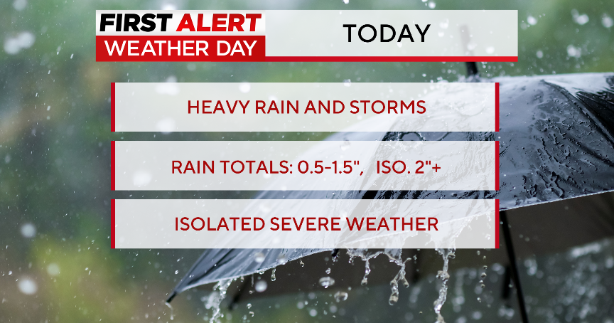
We had a beautiful day Friday in between systems, with temperatures reaching into the 80s. Unfortunately that won't last as an area of low pressure forms along a secondary frontal boundary. This will lead to increasing clouds this morning along with some showers and thunderstorms developing this morning across western MD, moving into the BWI Marshall metro by lunch time through the afternoon. High speed/directional shear could lead to a few stronger storms capable of producing gusty winds, especially south and east of BWI Marshall.
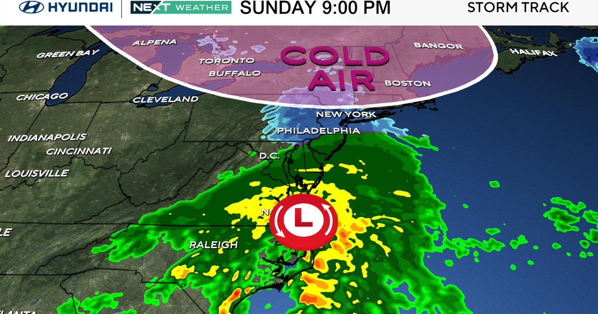
As of now, it appears the heaviest showers and storms will occur between 10 AM and 4 PM, with up to 1" of rain possible in some spots. Showers and storms will taper during the evening hours. A large upper trough will be with us on Sunday, and a strong piece of energy will round the base of it by afternoon. This may spawn another area of low pressure somewhere near or off the Mid-Atlantic coast, leading to some additional showers during the morning. Our region will be on the western fringe of this system, with heaviest rain likely to our north and east. Thus, rainfall appears to be lighter with this round, perhaps ranging up to 0.25" with locally higher amounts. Temperatures this day will be cooler- in the mid 70s.
By Monday, the upper trough will push east of the region and heights will begin to
rise. This should lead to a nice day with breezy conditions and temperatures in the 70s. This nice weather should last through most of the week, as a large area of high pressure controls our weather. A broad ridge aloft should promote some warming as well, and we expect temperatures to rebound into the middle 80s for mid to late week - about 10 degrees above normal!
A cold front may bring some cooler weather and perhaps some rain to the region for weekend.

