WEATHER BLOG: Mild End To The Week
We still have a couple of days of seasonable conditions to get through before the arctic blast makes it to us. The surface high pressure that begins the day overhead will slide off the Atlantic Coast by day's end. As this occurs, winds will veer toward a more southerly direction, resulting in a gradual increase of cloudiness throughout the day.
Shower activity will reach into western Pennsylvania and the southern tier of the 95 corridor (near Virgina) by the end of the day. The shower activity, associated with a stream of warmer upper level air into the region, will advance eastward Thursday night, leading to a wet start to the day on Friday.
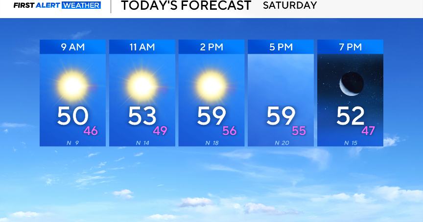
It will be dry Saturday, so the thinking is it will be just a partly sunny or mix of sun and clouds type of day. Saturday will definitely be the better of the two weekend days given how much brutally colder and windy Sunday will be.
