WEATHER BLOG: High Pressure
Hello everyone,
High pressure is now centered over West Virginia. A back door cold front will be dropping down through northern NY state and central new England.
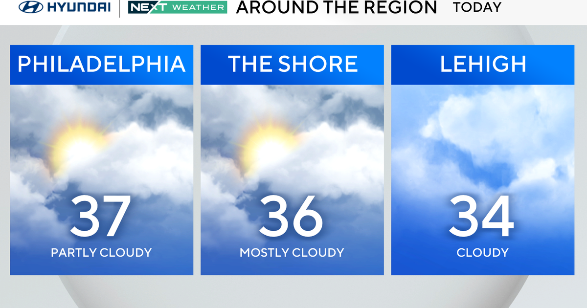
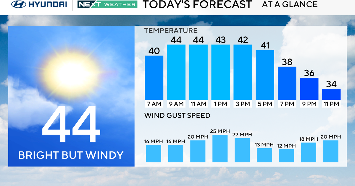
We have been pre-frontal today with lots of sunshine and very mild temperatures. but with winds shifting more out of the east tomorrow, it will be a much cooler day.
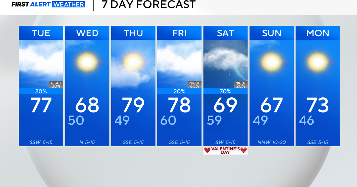
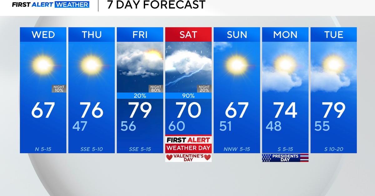
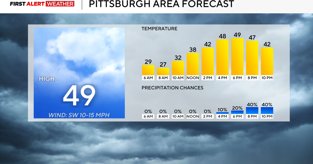
Highs on Tuesday will only make it into the upper 50s, but we will stay dry.
A significant rain event is on the way Thursday with the potential for 1" or more of rain.
Sunshine will return on Friday and right now it looks like most of the weekend will probably be dry as well.
