WEATHER BLOG: Derecho
Not a term we use here very often, but what we deal with Friday night into Saturday was a "DERECHO." It's a violent windstorm: a destructive windstorm that is associated with a line of severe thunderstorms and is caused by winds blowing in a straight line, rather than the rotary winds of a tornado.
While technically the northeast will be under a trough Saturday, the overall pattern is more zonal and less amplified then it could be, resulting in a rather difficult pattern to forecast, at least over the coming days. Pieces of vorticity streaming through the area will be key to the forecast over the next couple of days, and unfortunately these features are never straightforward, especially when it comes to timing.
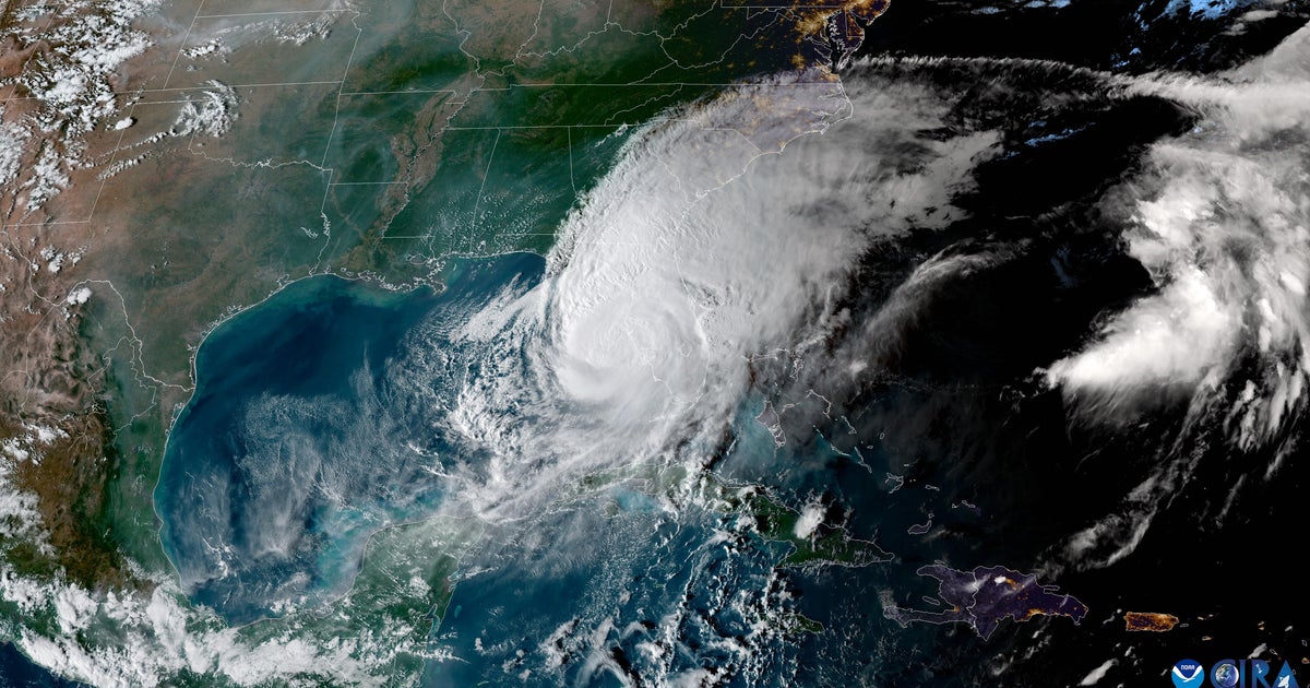
Overnight Friday night, a thunderstorm complex was rumbling through Illinois and Indiana picked up steam as it eventually dove south and across southern PA and eventually eject itself over D.C. and Baltimore and out over the Chesapeake Bay and Delmarva during the evening and overnight hours.The complex eventually formed a derecho, bringing an impressive amount of wind reports in its wake. While the modeling isn't in 100 percent agreement and there's an outlier here or there that push storms through the NYC area overnight, it's looking more and more like the system will follow a similar track as the overnight derecho that went through Maryland.
On Sunday the trough axis will finally swing through the I-95 corridor. It looks as though flow aloft will remain divergent over the region, and the air should be primed enough to allow for scattered showers and thunderstorms across the northeast. With upper level energy scattered everywhere and in no organized fashion, there will be little rhyme or reason to where convection fires. The best chance still appears to be along the coast, as well as across the higher terrain of the Appalachians, however activity really can't be ruled out much of anywhere.