WEATHER BLOG: Big Chill Coming
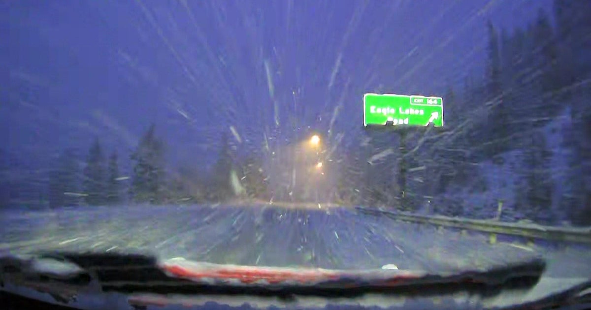
Ready for the big chill? The coldest air of the new year is on the move and poised to sweep across the Northeast and mid-Atlantic. An Alberta Clipper type of fast-moving storm system will race across northern New England today and its trailing dry cold front will sweep across the region today as southwest winds this morning increase and become westerly this afternoon. Ahead of this cold front there's enough time and enough sun for temperatures to recover from the 20s this morning to reach into the upper 40s this afternoon. However, it will become increasingly windy and cold tonight and under a clear sky the temperatures will tumble into the 20s and the wind will make it feel even colder.
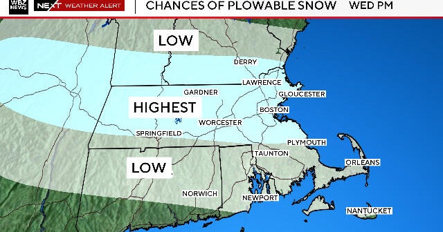
It will be quite chilly tomorrow and Tuesday with temperatures struggling into the 30s each day and perhaps only barely getting above freezing for a high on Tuesday (coldest weather of the new year, and coldest day of the winter season so far). It will turn milder on Wednesday and Thursday as winds turn to the south and southwest ahead of a storm system approaching from the southwest late in the week. It will become cloudy by Thursday night and rain will overspread the city Friday afternoon. Rain will continue Friday night into Saturday, ending before daybreak Saturday morning.
The good news is that it should warm up enough ahead of this storm system for it to be a rain maker both during the day and at night on Friday. However, the timing of this system is a concern. There are some long-range models that show this storm slower to move out of the Southwest U.S. this week and slower to get to the East Coast, perhaps as much as 12 hours slower. That would delay any rain until later Friday night and continue the rain into Saturday afternoon. However, we're several days from this storm system and we'll know more about when and where the storm exits the Southwest later this week.