WEATHER BLOG: Arctic Front Coming
The storm system currently located in the Southeast this morning will track northeast towards the mid-Atlantic today. A swath of accumulating snow is possible from the southern Appalachian mountains and the North Carolina Piedmont into southeastern Virginia and the southern half of the Delmarva Peninsula with some non-accumulating snow flurries farther north into northeastern Virginia, northeastern Maryland, Delaware and southern New Jersey. However, a slight shift in that track northward could bring some of that wet snow closer to DC and Baltimore. At this point, we believe that the accumulating snow stays to our south and east but continuous monitoring of this situation is warranted this morning and afternoon for any trend in the snow farther north ... I may be biting my nails this morning watching radar!
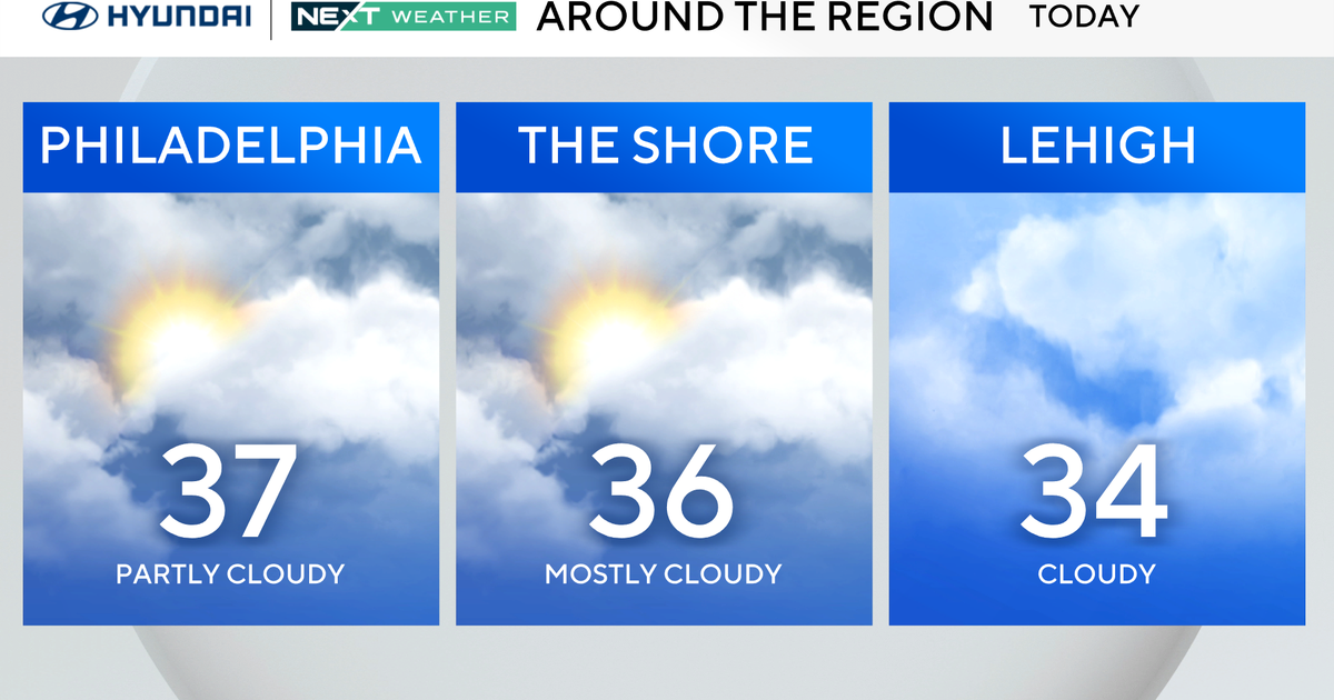
Anyway, past today's near hit storm ... an arctic front will arrive tonight. The air mass behind this front is fresh out of central Canada and it will plunge the eastern half of the nation into a deep freeze by tomorrow and that bitterly cold air will persist through Tuesday. There'll be freezing temperatures into northern Florida Monday and Tuesday night. The cold air will be accompanied by strong winds. The wind will intensify tonight with gusts past 30 mph possible late tonight and could gust around 40 mph tomorrow and tomorrow night. It will remain windy and cold on Tuesday.
Dangerously cold temperatures, especially Monday night when we're deep into the cold air and the wind is still very strong, will grip the region.
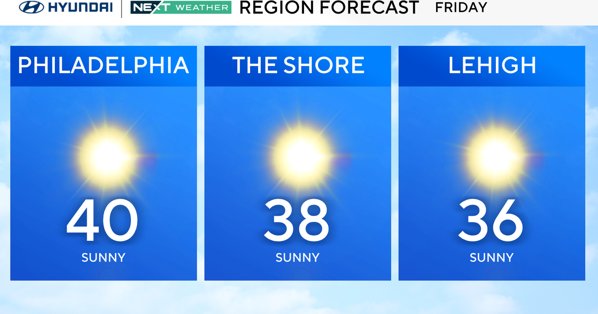
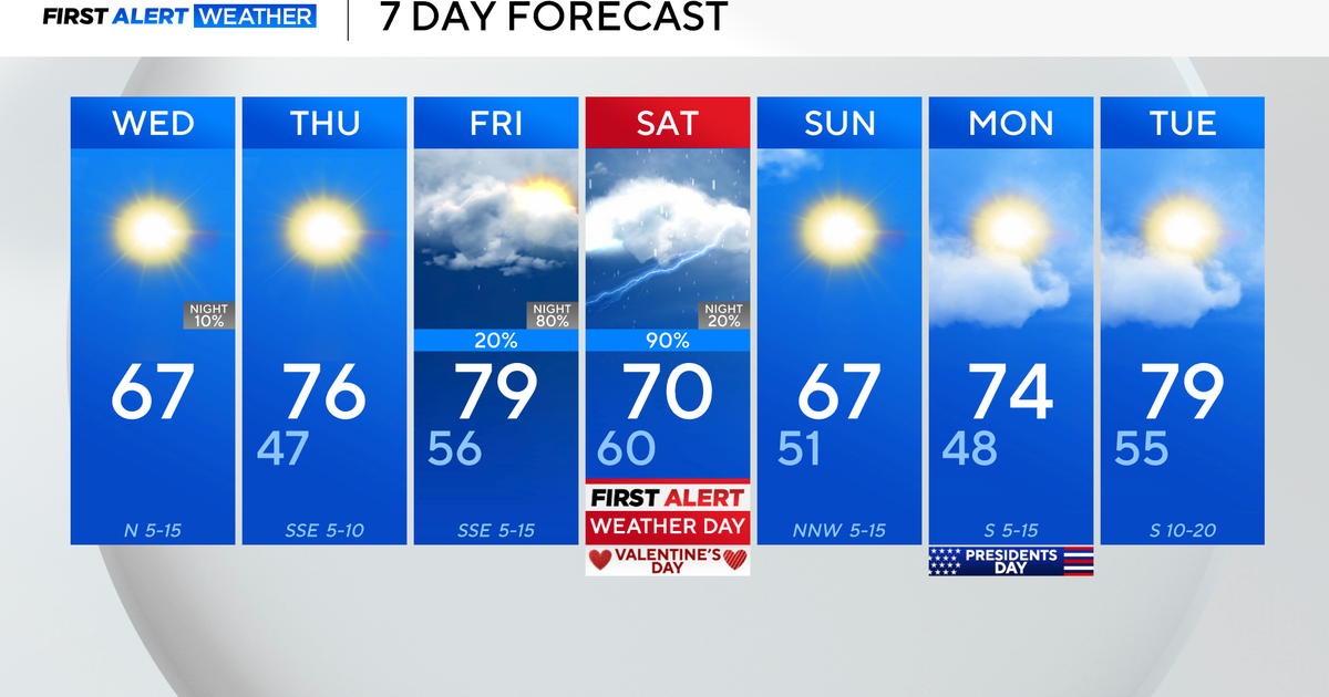
The wind will diminish quickly after sunset on Tuesday and the bitter cold will relent a bit on Wednesday as temperatures return to near normal. The rest of the week into the weekend our temperatures will remain near normal for this time of year. However, by Thursday night we'll be watching an area of low pressure once again developing near the Gulf coast which will intensify and track northeast towards the mid-Atlantic. This storm system could bring us a period of snow and flurries on Friday as it moves through the region, but the track and speed of this storm will eventually determine how much if any snow we get on Friday or Friday night. There is also a weak area of low pressure moving through the Great Lakes and New England during this same time frame and how this northern branch feature interacts with the southern storm remains uncertain. However, the potential is there for a snow event on Friday into Friday night.


