Maryland Gets Another Dose Of Winter Weather
BALTIMORE (WJZ/AP) -- Another quick burst of winter weather is here. National Weather Service officials say that there's another band of snow showers heading our way. The snow band will reach Baltimore around 3:30 p.m. until around 4:15 p.m. Saturday. Visibility will be reduced to less than a half mile. It will only last a few minutes in any given location. A quick dusting of snow is possible but roadways are still well above freezing. Wind gusts will approach 30 miles an hour. Drivers are advised to be cautious.
Baltimore city officials say they will extend emergency shelter hours and reach out to vulnerable residents because of low temperatures expected this weekend.
Health Commissioner Oxiris Barbot says the city has ordered a Code Blue cold weather alert for Saturday and Sunday. The National Weather Service says low temperatures are expected to dip into the 20s over the weekend with rain and snow showers expected on Saturday.
City officials say Baltimore has 10 emergency shelters currently operating. They are also reminding residents of cold weather safety tips, including dressing appropriately in multiple layers of loose-fitting clothing, including hats and scarves when outdoors. Space heaters should also be kept away from flammable materials such as curtains, clothing and furniture.
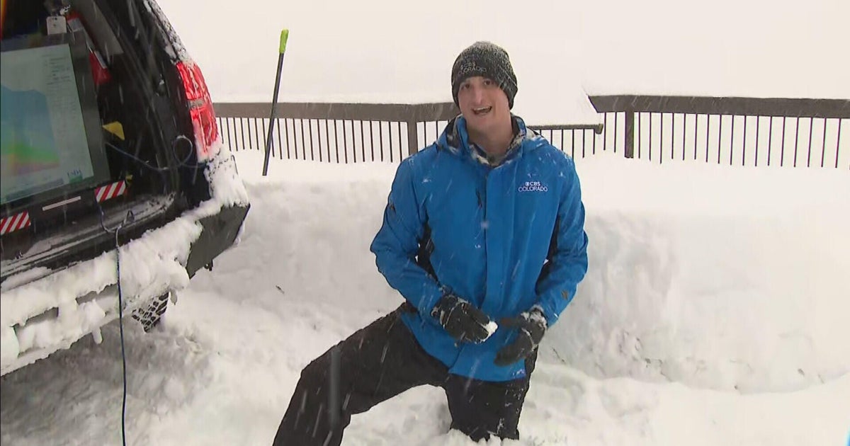
WJZ's First Warning Weather Team is tracking the winter weather. Here's a breakdown.
TIMELINE:
Steadier precipitation has ended across most of the area. A couple of sprinkles and perhaps flurries midday and afternoon, basically light and spotty. An Arctic cold front will be sweeping across our area late Saturday afternoon (about 6 p.m.). There will be scattered snow showers again Saturday night but they will end with no accumulation. There will be an abrupt change to colder and windy weather beginning in the evening. Dampness on roads could start freezing right after sundown.
NORTH AND WEST:
Snow showers in the morning that become off and on until later afternoon Saturday. Accumulations of 1-2 inches are expected, with more in higher elevations of far Western Maryland.
METRO:
Baltimore and immediate surrounding areas could get a slushy coating to 1"
SOUTH:
Mostly rain is expected to affect the area.
Check: Current Conditions| Radar & Maps
FOLLOWING THE STORM:
Wintry mix could impact travel on roads. Drivers are asked to use caution. There could be black ice on the road.
(Copyright 2012 by The Associated Press. All Rights Reserved.)


