Tornado Watch till 9PM
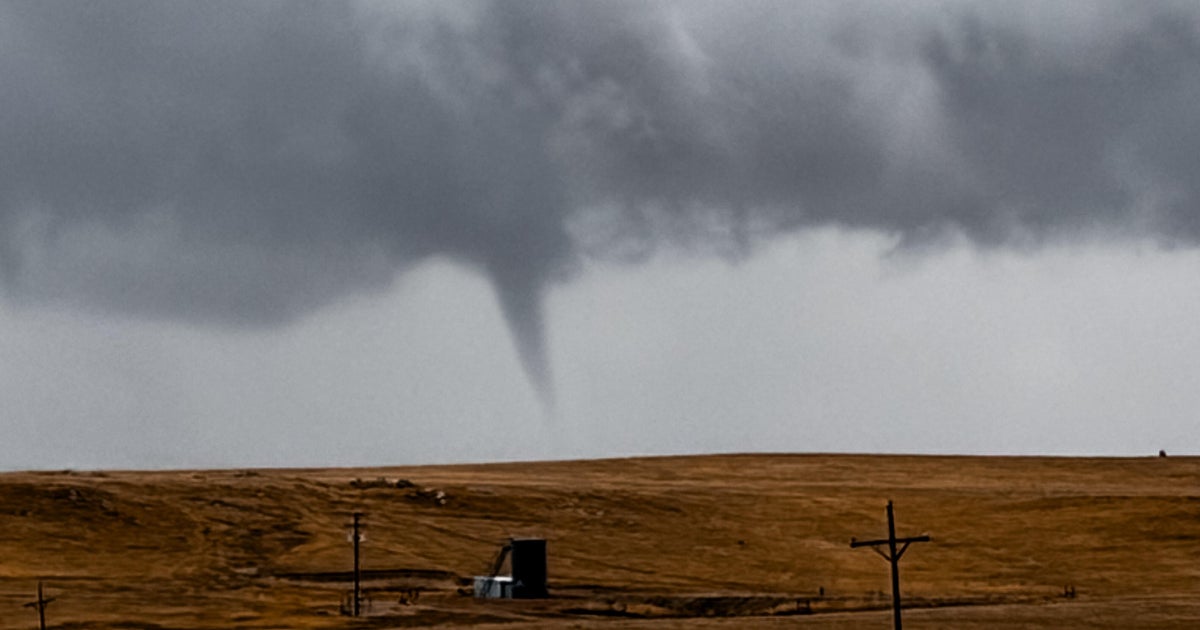
We are expecting another active day of severe weather. Afternoon heating will trigger storms along and east of the dryline (currently west of Abilene). Large hail the biggest threat at first but as the low-level jet starts to increase in the late day these supercells could produce tornadoes. Yesterday in Lampasas County they reported GRAPEFRUIT size hail (4"). It is currently 88° at DFW with a dewpoint of 73°. This is an atmosphere primed for rapid development of severe weather. We will keep you posted.