Storms Again With Afternoon Heat
The pattern overhead shows an area of unsettled weather along the Texas/Louisiana coast called a trough. Usually, most activity occurs on the east side or leading edge of the trough as well as the southern end of the trough. On the back or west side of the trough, the weather usually quiets down and that's the side presently over North Texas.
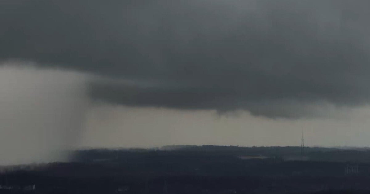
That said, unstable air is over North Texas along with a weak cold front and as the heat turns up, storms are expected to develop across the area. Garden variety showers and storms are exected with a very small threat of a storm becoming severe. The storms will be of the pulse variety with a quick build up and collapse. It's during the collapse phase that the storms will produce gusty winds that could approach severe limits of 60 mph along with locally heavy rainfall.
Like yesterday, showers and storms will dot the North Texas landscape this afternoon. And just like yesterday, many of us will have the rain dodge our neighborhood. Here's how the forecast looks today with best rain and storm chances south of the Metroplex.
