Severe weather alert out for Monday, Tuesday
NORTH TEXAS — Lots of visitors in town and lots of weather to deal with. Not a good combination.
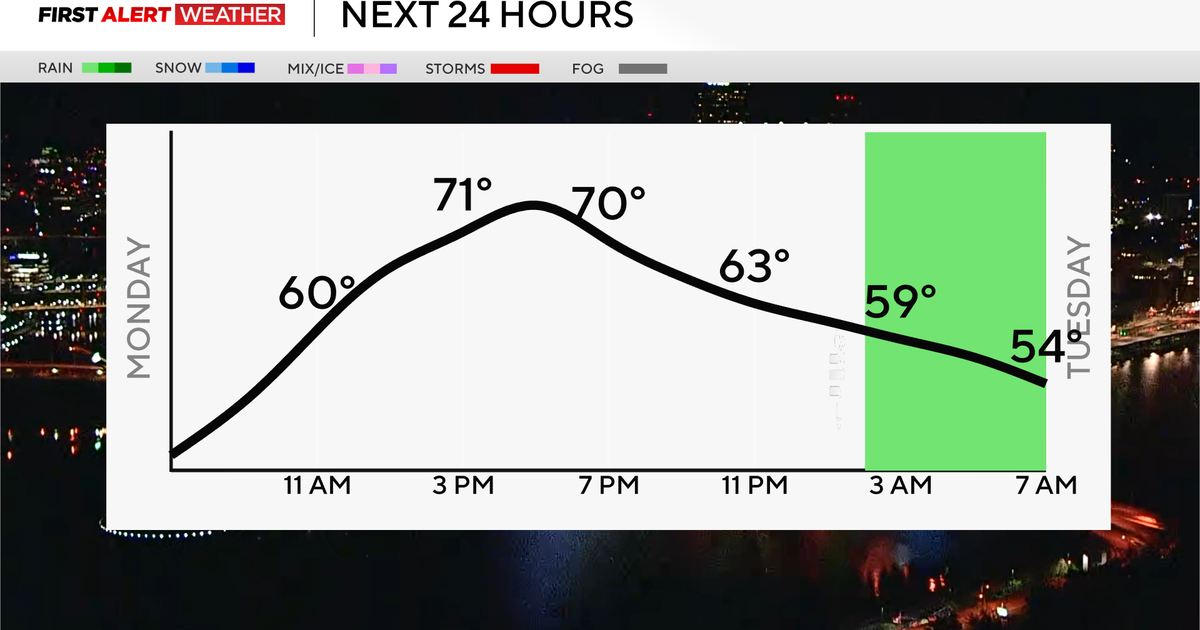
In the best-case scenario on Monday, there will be some breaks in the cloud cover during the eclipse. Mostly cloudy skies are expected with rain possible in our southeast counties. For most of north Texas, the rain and storms hold off until after the eclipse.
Severe weather is expected by end of day and evening. Two areas are the ones to watch for the initial development, west of the metroplex and southeast of the metroplex.
From 4 p.m. to 6 p.m. and on, severe weather will be around North Texas for most of the night into the overnight. All types of severe weather are possible. Most of the metroplex is now in an enhanced, Level 3 risk area.
Large hail, 2" or greater, is possible over all of North Texas.
Tornadoes are also possible with these storms.
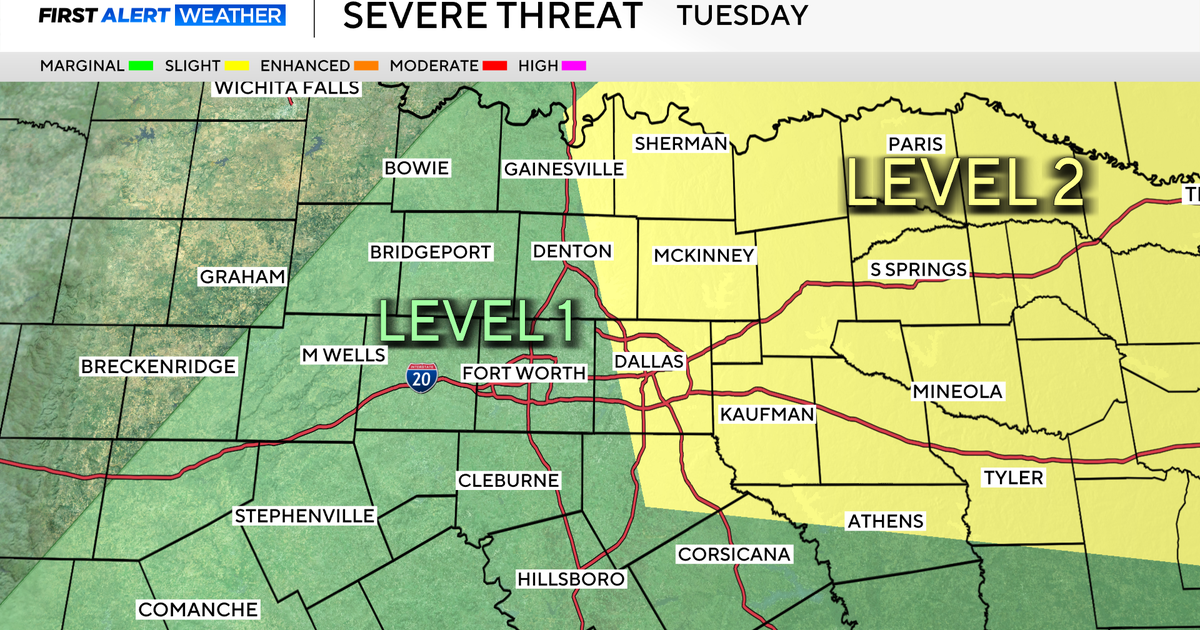
The severe weather threat increases in coverage on Tuesday along with the potential of flooding rain.
This could easily become the biggest rain event of the year so far; some areas could see over 3" of rain.
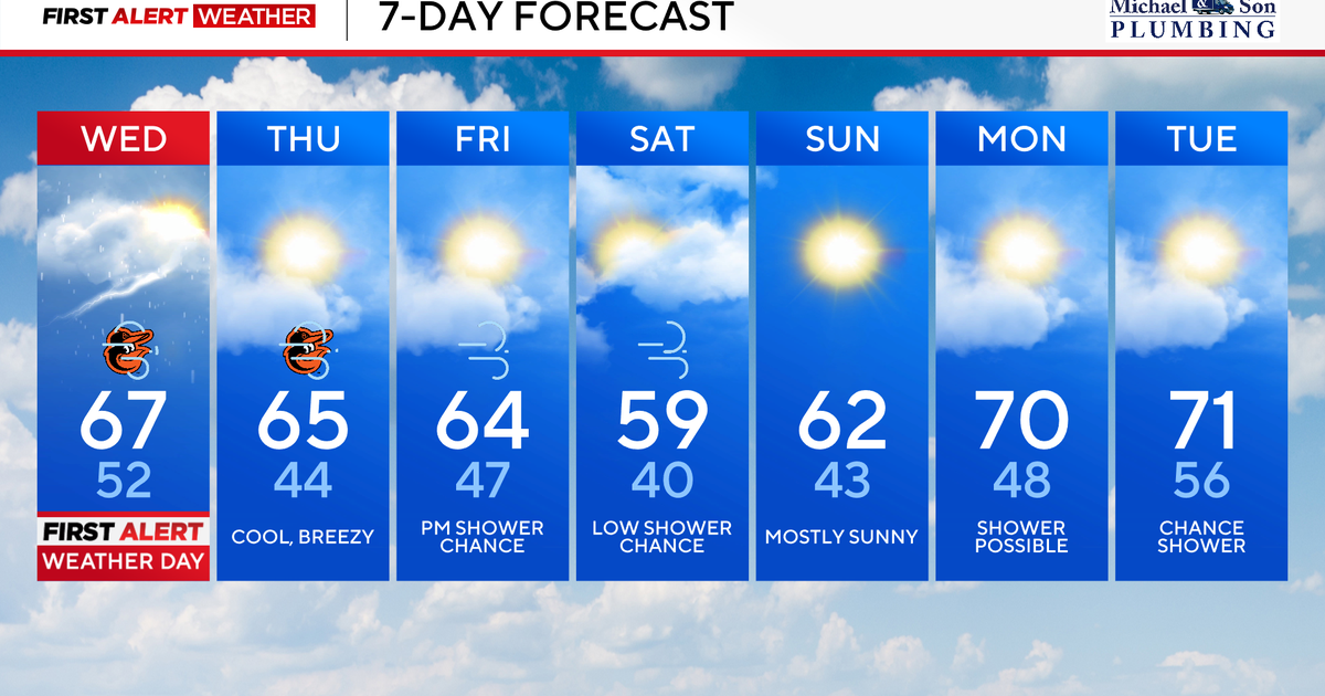
All this rough weather doesn't leave us alone until Wednesday late at night. Wednesday day could have a wind advisory along with storms and rain. We end the week with some great spring weather that goes in the weekend.


