Fire and Rain
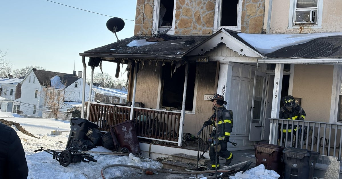
We had a grassfire in the Glenn Heights/Red Oak area that burned at least one house and triggered evacuations. We have our chopper over the area right now and are doing cut-ins. North Texas is under a Red Flag Warning due to dry conditions, strong south winds and hot temperatures. Wind gusts have reached into the 30 mph range all day as the temperature at DFW reached 104° which ties a previous record for this date set back in 1918. This is also the first record temperature reached in the the current heat wave of six consecutive days of 100 plus temperatures.
Meanwhile on the other side of north Texas we have a Thunderstorm Watch until 11pm. Strong storms are currently moving over Stephens and Palo Pinto counties as well as northern Cooke county. Their is a high risk of damaging winds with these storms. They could reach into the metro area by 7:30 or 8pm.
We expect more 100 degree weather tomorrow with another breezy, mostly sunny day. There will again be a risk of storms developing in our western counties in the afternoon heating. Coverage will likely be much less than today.
Highs on Monday will again close in on the 100° mark. We'll have another very windy day with a few storms developing in our western and northwestern counties.
The big change in the weather starts on Tuesday when a cold front moves into our area from the northwest. This will produce our best chance of a widespread rain since the last week in May. It will also knock down the heat some, highs will still reach into the mid-90's before the storms come in. The rain/storm chances increase on Wednesday, highs should top out in the low 90's (if rain hits the airport early we could stay in the upper 80's!).