DFW Weather: Cold Front To Bring Strong Storms, Major Temperature Drop Thursday Night, Friday
(CBSDFW.COM) - North Texans will see a weather whiplash starting Thursday evening as fall-like weather approaches.
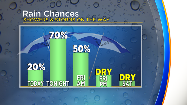
The strongest cold front of the season is set to move in Thursday night and push through the area by Friday morning. Strong thunderstorms, high winds, and a major temperature drop are in the forecast.
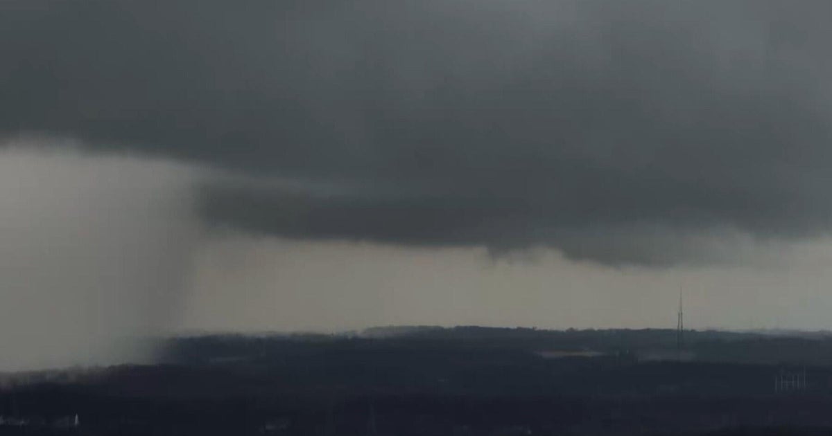
Thunderstorms are expected to develop northwest of the DFW Metroplex by Thursday evening before becoming more widespread as they move south and east late into the night. A few storms could turn severe Thursday night with damaging winds of up to 60 mph being the main threat.
As for temperatures, we'll see a summer-like day Thursday with highs around 90. That's followed by a plunge in numbers with temperatures in the upper 40s to low 50s by Friday morning.
Scattered showers and storms will remain Friday morning, especially south of I-20 before moving out by the afternoon. Even with the return of some sunshine Friday afternoon, it will remain a chilly, raw day with highs in the upper 50s.
And for those wondering about the Red River Showdown forecast, we're in good shape. Saturday starts off with our coldest temperatures of the season so far in the low 40s. By kickoff, we'll be in the mid 50s with mid 60s by the afternoon.