Chilly Temps & The First Freeze Comes Thursday Night
*Yesterday's High: 56; Normal High: 59; Normal Low: 39*
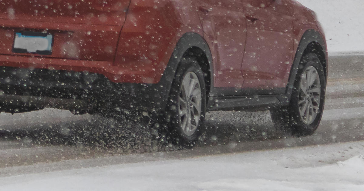
Winter has arrived in Texas!!
A HARD freeze tonight across north Texas and its snowing in the Hill Country and west Texas this morning. A rain/snow may be seen as far east as Austin and San Antonio today. There may also be a few flurries just south of DFW...as close as Hillsboro. No accumulations expected. A different story in the Big Bend area where 3-6" will fall....plus, a Winter Storm Warning is in effect. (Please see attached graphics).
Headlines:
- A chilly and windy day with falling temperatures into the upper 30's.
- First freeze since January 8th, 2017 coming tonight!
- All of us fall into the 20's. Some upper teens in sheltered area.
- Protect pets, plants, and pipes!
- A SLOW warm up this weekend.
- NO precipitation for at LEAST the next 7 days.
- 1.74" BELOW normal at DFW for 2017.
- 3.67" of rain since Sept 1st…<6.59"> below normal.
Today: A slow decrease in cloud cover. Windy, with slowly falling temps. A few flurries south of DFW. High: Low 40s. Wind chills in the 30s. Wind: North 15-25 G 30 mph.
Tonight: Clear and VERY cold. A HARD freeze with less wind. Low: 20-26. Wind: WNW 5-10 mph.
Friday: Sunny… continued chilly. High: Low 50s. Wind: SW 5 mph.
Saturday: Sunny and a bit warmer. High: Upper 50s.
Sunday and Monday: Mostly sunny and pleasant. High: Mid 60s.
Tuesday and Wed: Sunny and cool. High: Near 60.