Beautiful Spring Day Ahead, But Strong To Severe Storms Could Return To North Texas Tomorrow Evening
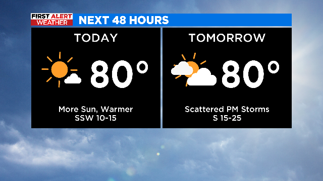
NORTH TEXAS (CBSDFW.COM) - If you liked yesterday, you'll enjoy today's forecast! We keep blue sky and sunshine with even warmer temperatures this afternoon as we'll climb to near 80º. The nice thing is that humidity remains low today so it won't feel uncomfortable with the warmer setup.
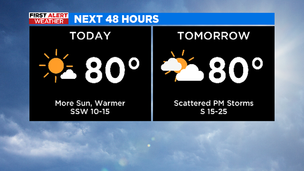
TOMORROW:
- Clouds increase, warm, breezy, and more humid
- Most of the daytime hours appear dry
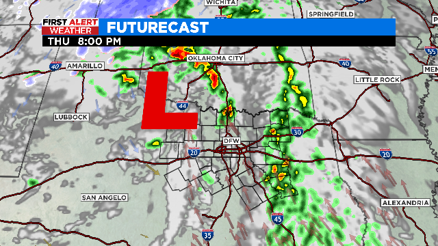
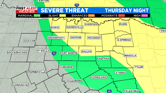
- Cold front arrives by tomorrow evening

- Storm chances return-- low chance of a storm in the afternoon; best chances are tomorrow evening-midnight
- Strong-severe storms with main threat being large hail (quarter-size)
- Focus area: Metroplex and points northeast

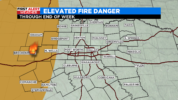
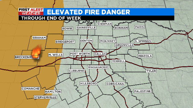
Another weather headline for the coming days will be the elevated fire danger sticking around, especially for locations west of I-35W. Tomorrow we could even be talking a critical fire danger (higher severity) for our western fringe where the humidity will be really low as warm, gusty south winds return.
Have a nice Wednesday! Just a couple of days until the weekend...


