Ahead: Colder Morning, Warmer Afternoon
There was a distinct chill to the air this morning thanks to a gusty northwest wind that whipped around since last night. On the heels of a cold front coming through early Friday evening, a colder day drapped across North Texas Saturday.
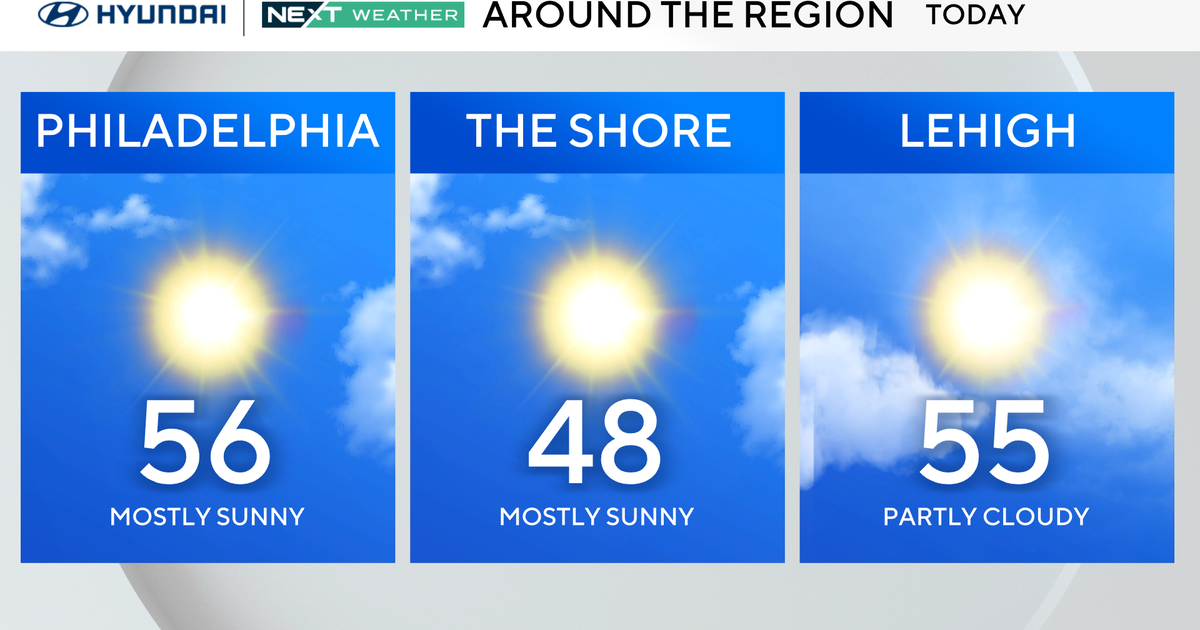
Highs only reached in the low 50s; fortunately we had some sunshine as the winds diminished some in the afternoon.
TONIGHT
Those winds are going to drop to almost a calm overnight. With clear skies, this means a chilly night ahead. We'll have lows below freezing for only the fifth time this January at DFW International Airport.
TOMORROW
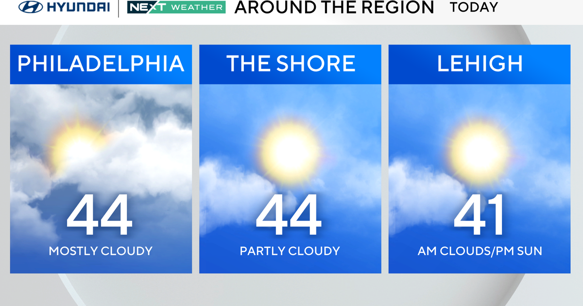
Winds start to pick up from the southwest in the afternoon with ample sunshine and low humidity. This is a recipe for a big warm-up. Though we'll start at freezing (below that outside the urban heat island) highs will jump up to the low 60s. Fine winter weather in what has been a mild January.
MONDAY
Thanks to that southwest wind we won't be as cold on Monday morning, lows should be in the low 40s. We'll again have lots of sunshine. Thanks to the warm start and the brisk winds highs will get into the upper 60s.
TUESDAY
This is going to be a windy day, we'll have mostly cloudy skies but highs will still reach to around 70°. Fitting end to what has been a warm month, the average temperature will likely end up in the top ten (or close) warmest January's on record.
START OF FEBRUARY
Highs on Wednesday (2/01/12) will get up to around 70° but a cold front arrives that night. Highs in the mid 60s and cloudy on Thursday with a chance of rain. The better chance for rain (at least right now) looks to be on Thursday night and Friday morning. Friday will start in the 50s but highs will likely stay in the 50's with clouds, rain and cold winds.
Saturday looks cold: highs only in the low 50s.