Warm Becomes Hot
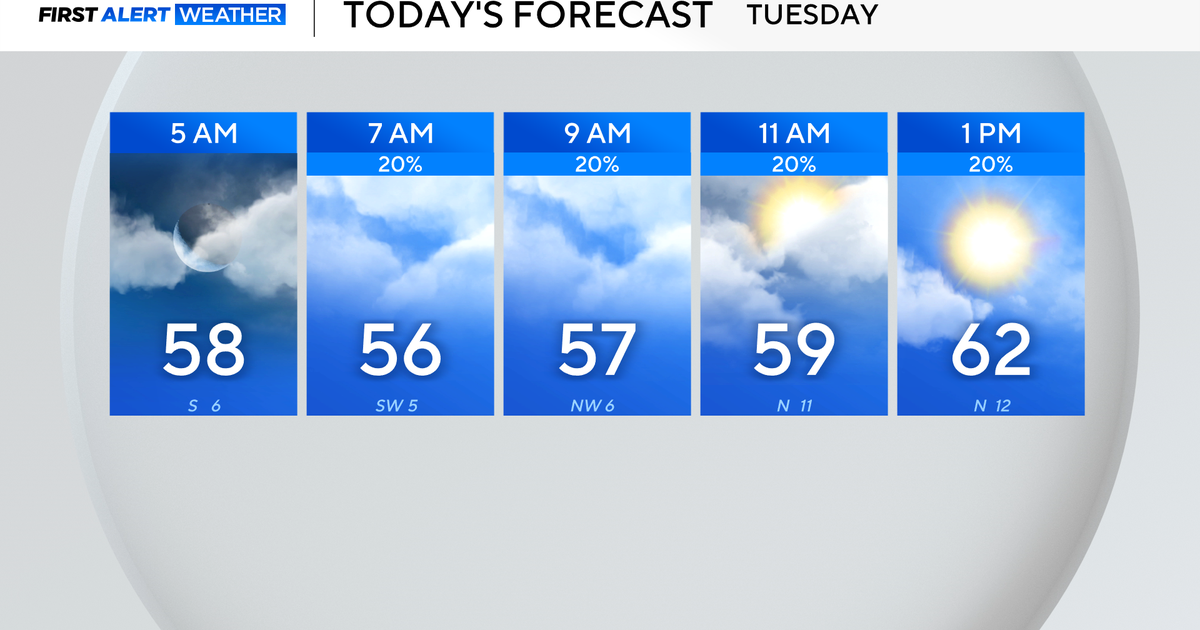
This are the last days of July and the summer heat continues. All this work week we enjoyed some afternoon thunderstorms to give a break to the hot weather for some. The heat is around of course again today, a little warmer than the last couple of days:
Storm chances today are focused along the Red River. Slow moving storms could produce brief heavy rain and strong winds:
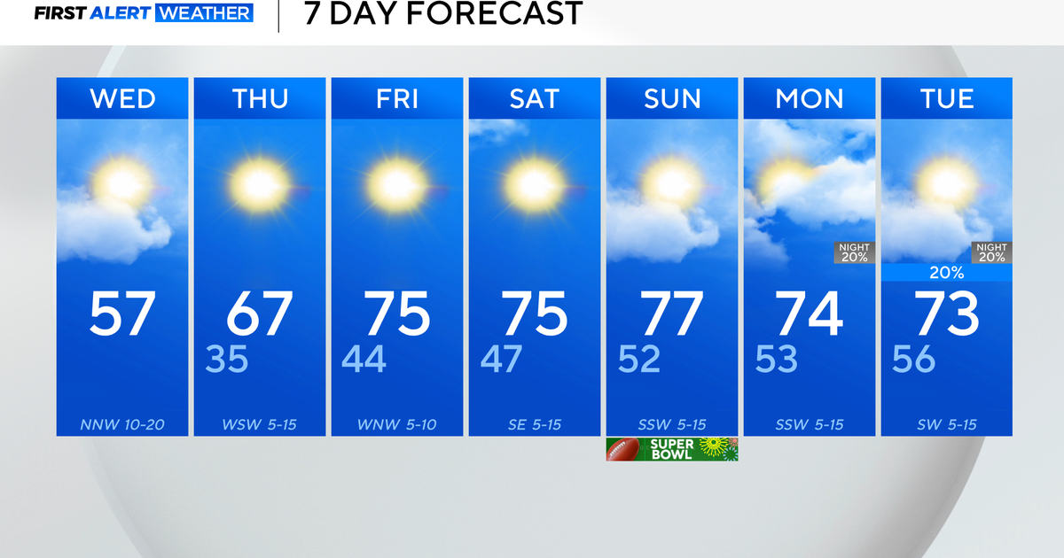
By tomorrow high pressure starts to build overhead of north Texas. This will effectively reduce our storm chances for the week ahead to near zero. As the rain chances diminish the temperatures creep up:
High pressure anchored over the Central Plains translates to hot and dry weather for America's heartland.
We start August on Monday. A few facts you should know about that month: it is historically our HOTTEST and DRIEST month. It also traditional serves up the most triple-digit days as well:
The forecast looks very much like August: hot and dry. We've had four 100° days at DFW so far this season. We could almost double that number in the week ahead:
